| Tlawng Dam | |
|---|---|
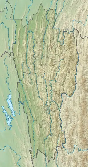 Location of Tlawng Dam in Mizoram 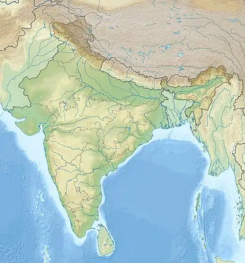 Tlawng Dam (India) | |
| Country | India |
| Location | Lungleng |
| Coordinates | 23°38′10.77″N 092°39′04.38″E / 23.6363250°N 92.6512167°E |
| Status | Proposed |
| Dam and spillways | |
| Type of dam | Embankment, rock-fill |
| Impounds | Tlawng River |
| Height | 123 m (404 ft) |
| Length | 245 m (804 ft) |
| Elevation at crest | 243 m (797 ft) |
| Spillway type | Chute spillway |
| Spillway capacity | 4,825 m3/s (170,393 cu ft/s) |
| Reservoir | |
| Total capacity | 42,500,000 m3 (34,455 acre⋅ft) |
| Active capacity | 22,680,000 m3 (18,387 acre⋅ft) |
| Catchment area | 925 km2 (357 sq mi) |
| Normal elevation | 240 m (787 ft) |
| Power Station | |
| Turbines | 2 x 22.5 MW Francis-type |
| Installed capacity | 55 MW |
Tlawng Dam, is a proposed rock-fill dam on the Tlawng River near Lungleng, 25 km from Aizawl, in the state of Mizoram in India.[1]
History
A memorandum of understanding was signed between the Mizoram Government and Shyam Century Ferrous on 10 August 2012.[2]
See also
- Chimtuipui River
- Lungleng River
References
- ↑ D. DATTA. "Tlawng HE Report" (PDF). Punjab State Power Corporation. Retrieved 13 August 2012.
- ↑ Lalfakzuala. "Bairabi Dam Project 80MW leh TLAWNG HEP 55MW TAN MOU ZIAKFEL". DIPR Mizoram. Archived from the original on 8 January 2014. Retrieved 13 August 2012.
This article is issued from Wikipedia. The text is licensed under Creative Commons - Attribution - Sharealike. Additional terms may apply for the media files.