Thana Khurd | |
|---|---|
City | |
| Nickname: Chhota Thana | |
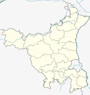 Thana Khurd Location in Haryana, India  Thana Khurd Thana Khurd (India) | |
| Coordinates: 28°53′N 76°57′E / 28.89°N 76.95°E | |
| Country | |
| Region | North India |
| State | Haryana |
| District | Sonipat |
| Tehsil | Kharkhoda |
| Elevation | 224.15 m (735.40 ft) |
| Population | |
| • Total | 2,886 |
| Languages | |
| • Official | Hindi |
| • Second Official | Haryanvi |
| Time zone | UTC+5.30 (Indian Standard Time) |
| PIN | 131402 |
| ISO 3166 code | IN-HR |
| Sex Ratio | 1.02 ♂/♀ |
| Literacy | 78.57% |
| Website | www |
Thana Khurd is a village in Kharkhoda, Sonipat district in the state of Haryana, India. It is situated 6km away from sub-district headquarter Kharkhoda and 21km away from district headquarter Sonipat.[1]
Geography
Thana Khurd is located at 28.89°N to 76.95°E. It has an average elevation of 224.15 meters above sea level (735.4 feet). The total area of Thana Khurd is 557 hectares.
References
- ↑ "Thana Khurd Village Population - Kharkhoda - Sonipat, Haryana". census2011.co.in. Retrieved 20 May 2017.
Sonipat district topics | ||
|---|---|---|
| Cities and towns | 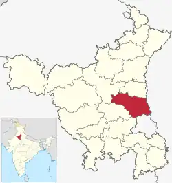 | |
| Villages | ||
| Education | ||
| Transport | ||
| Lok Sabha constituencies | ||
This article is issued from Wikipedia. The text is licensed under Creative Commons - Attribution - Sharealike. Additional terms may apply for the media files.