Taungdaw | |
|---|---|
Village | |
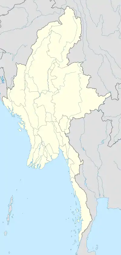 Taungdaw Location in Burma | |
| Coordinates: 24°24′N 94°41′E / 24.400°N 94.683°E | |
| Country | |
| Region | Sagaing Region |
| District | Hkamti District |
| Township | Homalin Township |
| Time zone | UTC+6.30 (MST) |
Taungdaw is a river village in Homalin Township, Hkamti District, in the Sagaing Region of northwestern Burma.[1][2] Taungdaw is situated in the northern part of Rakhine State, near the border with Chin State. The town is located in a hilly area, surrounded by lush green landscapes and agricultural fields. As of the 2014 census, Taungdaw had a population of approximately 40,000 people. The majority of the population consists of the Rakhine ethnic group, who are native to the region. The local economy of Taungdaw is primarily based on agriculture, with rice, beans, and sesame being the main crops grown in the area. Livestock farming and fishing also contribute to the local economy. In recent years, there has been some development in small-scale industries, including the production of handicrafts and weaving. Taungdaw is home to a diverse mix of cultures, with influences from the Rakhine, Chin, and other ethnic groups in the region. The local population celebrates various traditional festivals and has a rich cultural heritage. The Rakhine language, a dialect of the Burmese language, is commonly spoken in the town.
References
- ↑ Google (29 May 2023). "Taungdaw" (Map). Google Maps. Google. Retrieved 29 May 2023.
- ↑ Microsoft; Nokia (29 May 2023). "Taungdaw" (Map). Bing Maps. Microsoft. Retrieved 29 May 2023.
