Tateville, Kentucky | |
|---|---|
 Tateville, Kentucky | |
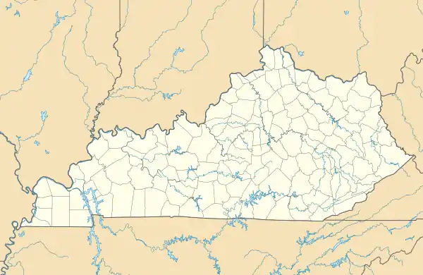
| Coordinates: 36°57′52″N 84°34′53″W / 36.96444°N 84.58139°W | |
| Country | United States |
| State | Kentucky |
| County | Pulaski |
| Elevation | 860 ft (260 m) |
| Time zone | UTC-5 (Eastern (EST)) |
| • Summer (DST) | UTC-4 (EDT) |
| ZIP code | 42558 |
| Area code | 606 |
| GNIS feature ID | 515876[1] |
Tateville is an unincorporated community in Pulaski County, Kentucky, United States. Tateville is located along U.S. Route 27 and Kentucky Route 90 9 miles (14 km) south of Somerset. Tateville has a post office with ZIP code 42558.[2]
References
Municipalities and communities of Pulaski County, Kentucky, United States | ||
|---|---|---|
| Cities |  Location of Pulaski County, Kentucky | |
| Unincorporated communities | ||
| Ghost towns | ||
| Footnotes | ‡This populated place also has portions in an adjacent county | |
This article is issued from Wikipedia. The text is licensed under Creative Commons - Attribution - Sharealike. Additional terms may apply for the media files.