Tarapacá Airport | |||||||||||
|---|---|---|---|---|---|---|---|---|---|---|---|
| Summary | |||||||||||
| Airport type | Public | ||||||||||
| Serves | Tarapacá, Colombia | ||||||||||
| Elevation AMSL | 253 ft / 77 m | ||||||||||
| Coordinates | 2°53′41″S 69°44′50″W / 2.89472°S 69.74722°W | ||||||||||
| Map | |||||||||||
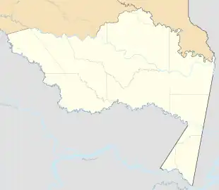 TCD 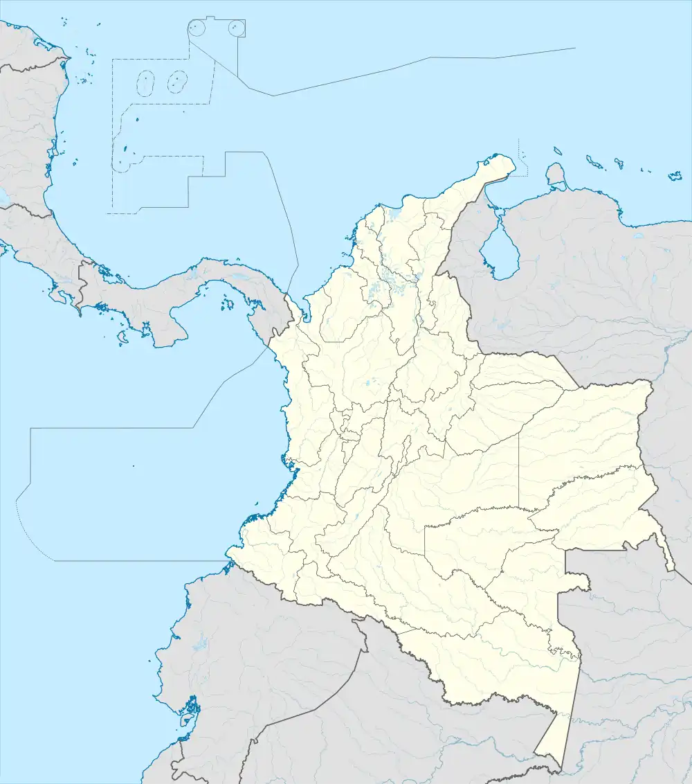 TCD | |||||||||||
| Runways | |||||||||||
| |||||||||||
Tarapacá Airport (IATA: TCD, ICAO: SKRA) is an airport serving Tarapacá, a town and municipality in the Amazonas Department of Colombia. The town is on the west bank of the Putumayo River, 4 kilometres (2.5 mi) from the Brazilian border. The runway is just west of the town.
The ICAO code "SKRA" may not be active.
Airlines and destinations
| Airlines | Destinations |
|---|---|
| Satena | Leticia |
See also
References
- ↑ Airport information for TCD at Great Circle Mapper.
- ↑ Google Maps - Tarapacá
External links
- OpenStreetMap - Tarapacá
- OurAirports - Tarapacá
- Tarapacá Airport
- Accident history for TCD at Aviation Safety Network
This article is issued from Wikipedia. The text is licensed under Creative Commons - Attribution - Sharealike. Additional terms may apply for the media files.