Taloyoak Airport | |||||||||||
|---|---|---|---|---|---|---|---|---|---|---|---|
Aerial view of airport | |||||||||||
| Summary | |||||||||||
| Airport type | Public | ||||||||||
| Operator | Government of Nunavut | ||||||||||
| Location | Taloyoak, Nunavut | ||||||||||
| Time zone | MST (UTC−07:00) | ||||||||||
| • Summer (DST) | MDT (UTC−06:00) | ||||||||||
| Elevation AMSL | 90 ft / 27 m | ||||||||||
| Coordinates | 69°32′48″N 093°34′37″W / 69.54667°N 93.57694°W | ||||||||||
| Map | |||||||||||
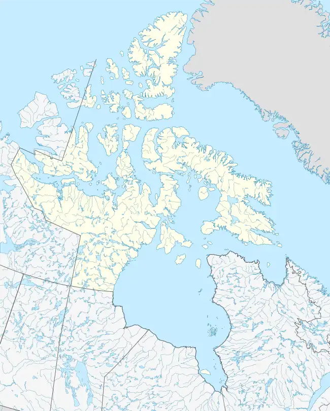 CYYH Location in Nunavut  CYYH CYYH (Canada) | |||||||||||
| Runways | |||||||||||
| |||||||||||
| Statistics (2018) | |||||||||||
| |||||||||||
Taloyoak Airport (IATA: YYH, ICAO: CYYH) is located 0.75 nautical miles (1.39 km; 0.86 mi) west of Taloyoak, Nunavut, Canada, and is operated by the Government of Nunavut.
Airlines and destinations
| Airlines | Destinations |
|---|---|
| Canadian North | Cambridge Bay, Gjoa Haven, Kugaaruk, Yellowknife[4] |
References
- ↑ Canada Flight Supplement. Effective 0901Z 16 July 2020 to 0901Z 10 September 2020.
- ↑ Synoptic/Metstat Station Information Archived June 27, 2013, at the Wayback Machine
- ↑ Aircraft movements, by class of operation and type of operation, airports without air traffic control towers, annual
- ↑ Full network schedule
External links
- Past three hours METARs, SPECI and current TAFs for Taloyoak Airport from Nav Canada as available.
| By name | |
|---|---|
| By location indicator | |
| By province/territory | |
| By area | |
| National Airports System | |
| Related | |
| |
This article is issued from Wikipedia. The text is licensed under Creative Commons - Attribution - Sharealike. Additional terms may apply for the media files.