Surhuisterveen
Surhústerfean | |
|---|---|
Village | |
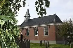 Surhuisterveen Church | |
 Flag  Coat of arms | |
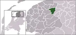
 Location in Achtkarspelen municipality | |
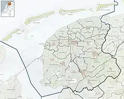 Surhuisterveen Location in the Netherlands 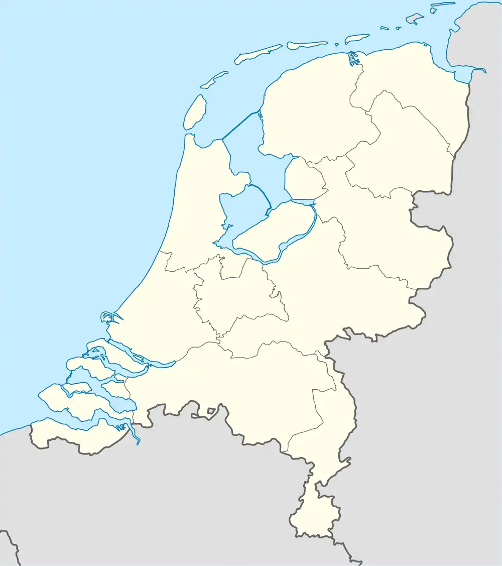 Surhuisterveen Surhuisterveen (Netherlands) | |
| Coordinates: 53°11′N 6°10′E / 53.183°N 6.167°E | |
| Country | |
| Province | |
| Municipality | |
| Area | |
| • Total | 7.58 km2 (2.93 sq mi) |
| Elevation | 2 m (7 ft) |
| Population (2021)[1] | |
| • Total | 6,050 |
| • Density | 800/km2 (2,100/sq mi) |
| Postal code | 9231[1] |
| Dialing code | 0512 |
Surhuisterveen (West Frisian: Surhústerfean) is the largest of the 12 villages of the municipality of Achtkarspelen, in the province of Friesland, the Netherlands. As of 1 January 2017, Surhuisterveen had a population of 5,929.[3]
General information
The village was first mentioned in 1603 as Surhustera feen.[4] Surhuisterveen began to develop at the end of the 16th century as peat-excavators and boatmen built their homes in the area. The name Surhuisterveen refers to the time of the peat-colonies, and means "the peat-bogs of Surhuizum". The earliest settlers were mainly Mennonites.[4] Surhuizum is another constituent village of Achtkarspelen, which is significantly smaller, but also significantly older than Surhuisterveen. After World War II, Surhuisterveen became a regional centre with an emphasis on retail.[5]
The Protestant Church was built in 1685. The Mennonite Church dates from 1801.[5] The grist mill Koartwâld or Feanstermoune was built in 1864. In 1907, an electro motor was installed. The windmill sail was damaged during a storm in 1946, and not repaired. The wind mill started to become a derelict, and only a ruin remained. In 1990, a restoration project started, and the wind mill was recommissioned in 1995.[6] Surhuisterveen was home to 1,289 people in 1840.[7]
The Centrumcross Surhuisterveen is a cyclo-cross event organized in the village. There is a restored windmill in the village, Koartwâld. The source of the Lauwers river, as a small stream, is located southeast of the village.
Gallery
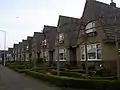 Row of houses
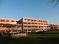 Apartment building
 Shooping street
 Centre of Surhuisterveen
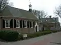 Mennonite church
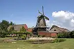 Windmill Koartwald
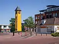 Dressed up clock tower
 Centrumcross
References
- 1 2 3 "Kerncijfers wijken en buurten 2021". Central Bureau of Statistics. Retrieved 29 March 2022.
two entries
- ↑ "Postcodetool for 9231AA". Actueel Hoogtebestand Nederland (in Dutch). Het Waterschapshuis. Retrieved 29 March 2022.
- ↑ Villages - Achtkarspelen (in Dutch)
- 1 2 "Surhuisterveen - (geografische naam)". Etymologiebank (in Dutch). Retrieved 29 March 2022.
- 1 2 Ronald Stenvert & Sabine Broekhoven (2000). "Surhuisterveen" (in Dutch). Zwolle: Waanders. ISBN 90 400 9476 4. Retrieved 29 March 2022.
- ↑ "Koartwâld / Feanstermoune". Molen database (in Dutch). Retrieved 29 March 2022.
- ↑ "Surhuisterveen". Plaatsengids (in Dutch). Retrieved 29 March 2022.
External links
![]() Media related to Surhuisterveen at Wikimedia Commons
Media related to Surhuisterveen at Wikimedia Commons