Sunyani Airport | |||||||||||
|---|---|---|---|---|---|---|---|---|---|---|---|
| Summary | |||||||||||
| Airport type | Public | ||||||||||
| Operator | Government | ||||||||||
| Location | Sunyani, Bono Region | ||||||||||
| Elevation AMSL | 1,014 ft / 309 m | ||||||||||
| Coordinates | 07°21′42″N 002°19′43″W / 7.36167°N 2.32861°W | ||||||||||
| Map | |||||||||||
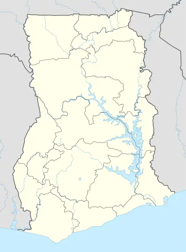 NYI Location in Ghana | |||||||||||
| Runways | |||||||||||
| |||||||||||
Sunyani Airport (IATA: NYI, ICAO: DGSN) has been reopened after undergoing extensive rehabilitation of both the runway and terminal building[4] .The airport serves Sunyani, a town and capital of Bono Region mid-western Ghana.[1][2][5][6]
Airlines and destinations
| Airlines | Destinations |
|---|---|
| Passion Air | Accra |
References
- 1 2 "Airport information for DGSN". World Aero Data. Archived from the original on 2019-03-05.
{{cite web}}: CS1 maint: unfit URL (link) Data current as of October 2006. Source: DAFIF. - 1 2 Airport information for NYI at Great Circle Mapper. Source: DAFIF (effective October 2006).
- ↑ Google Maps - Sunyani
- ↑ "Rehabilitated Sunyani Airport inaugurated".
- ↑ "GACL – Ghana Airports Company Limited". www.gacl.com.gh. Retrieved 2018-08-20.
- ↑ "Brong Ahafo to be known as Bono Region". Graphic Online. Retrieved 2020-08-24.
External links
This article is issued from Wikipedia. The text is licensed under Creative Commons - Attribution - Sharealike. Additional terms may apply for the media files.