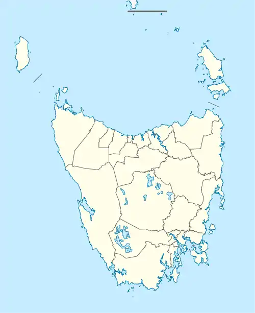
| Strathgordon Tasmania | |||||||||||||||
|---|---|---|---|---|---|---|---|---|---|---|---|---|---|---|---|
 Strathgordon | |||||||||||||||
| Coordinates | 42°46′S 146°03′E / 42.767°S 146.050°E | ||||||||||||||
| Population | 15 (Southwest) (2016 census)[1] | ||||||||||||||
| Postcode(s) | 7139 | ||||||||||||||
| Elevation | 322 m (1,056 ft)[2] | ||||||||||||||
| Location | 144 km (89 mi) W of Hobart | ||||||||||||||
| LGA(s) | Derwent Valley Council | ||||||||||||||
| Region | South-east | ||||||||||||||
| State electorate(s) | Lyons | ||||||||||||||
| Federal division(s) | Lyons | ||||||||||||||
| |||||||||||||||
| |||||||||||||||
Strathgordon is a rural locality in the local government area (LGA) of Derwent Valley in the South-east LGA region of Tasmania. The locality is about 121 kilometres (75 mi) west of the town of New Norfolk. The 2016 census recorded a population of 15 for the state suburb of Southwest, which includes Strathgordon.[1] It is on the road to the Gordon River dam the most south westerly road in the south west of Tasmania. It is a tourist destination for visitors wishing to visit the Southwest National Park and World Heritage listed wilderness.
It is remote by Tasmanian standards; however, fuel can be purchased at the Lake Pedder Wilderness Lodge which also provides accommodation and meals. The nearest basic services, otherwise, are 70 kilometres (43 mi) away along a winding road from Maydena. The road is maintained by Hydro Tasmania and has views of the South Western Wilderness.
History
Strathgordon was gazetted as a locality in 1968.[3] The town was the 'company' town for construction by the Hydro Tasmania of the hydro-electric structures that resulted in damming of Lake Pedder and Lake Gordon. Its post office opened on 16 July 1969.[4]
Geography
The locality is completely surrounded by the much larger locality of Southwest.[5]
Road infrastructure
Route B61 (Gordon River Road) runs through from south-east to south-west.[3][6]
Climate
| Climate data for Strathgordon, Tasmania | |||||||||||||
|---|---|---|---|---|---|---|---|---|---|---|---|---|---|
| Month | Jan | Feb | Mar | Apr | May | Jun | Jul | Aug | Sep | Oct | Nov | Dec | Year |
| Record high °C (°F) | 36.2 (97.2) |
36.3 (97.3) |
33.1 (91.6) |
27.5 (81.5) |
21.1 (70.0) |
16.1 (61.0) |
17.5 (63.5) |
20.8 (69.4) |
24.5 (76.1) |
27.9 (82.2) |
32.0 (89.6) |
35.0 (95.0) |
36.3 (97.3) |
| Average high °C (°F) | 19.3 (66.7) |
19.8 (67.6) |
17.3 (63.1) |
14.5 (58.1) |
11.6 (52.9) |
9.6 (49.3) |
9.0 (48.2) |
10.1 (50.2) |
11.7 (53.1) |
13.6 (56.5) |
16.2 (61.2) |
17.5 (63.5) |
14.2 (57.6) |
| Average low °C (°F) | 9.5 (49.1) |
9.7 (49.5) |
8.6 (47.5) |
7.0 (44.6) |
5.3 (41.5) |
3.8 (38.8) |
3.0 (37.4) |
3.6 (38.5) |
4.5 (40.1) |
5.4 (41.7) |
7.0 (44.6) |
8.3 (46.9) |
6.3 (43.3) |
| Record low °C (°F) | 2.8 (37.0) |
1.5 (34.7) |
1.3 (34.3) |
0.0 (32.0) |
−1.1 (30.0) |
−4.0 (24.8) |
−2.5 (27.5) |
−3.1 (26.4) |
−1.5 (29.3) |
−1.3 (29.7) |
0.6 (33.1) |
1.8 (35.2) |
−4.0 (24.8) |
| Average precipitation mm (inches) | 145.8 (5.74) |
106.9 (4.21) |
149.9 (5.90) |
201.6 (7.94) |
239.1 (9.41) |
213.4 (8.40) |
271.8 (10.70) |
293.4 (11.55) |
278.5 (10.96) |
248.0 (9.76) |
175.3 (6.90) |
198.2 (7.80) |
2,525.7 (99.44) |
| Average precipitation days | 17.4 | 14.1 | 18.4 | 20.1 | 23.0 | 22.5 | 25.0 | 25.4 | 24.4 | 23.0 | 19.4 | 20.0 | 252.7 |
| Mean monthly sunshine hours | 201.5 | 178.0 | 145.7 | 105.0 | 68.2 | 51.0 | 62.0 | 83.7 | 102.0 | 139.5 | 165.0 | 176.7 | 1,478.3 |
| Source: Bureau of Meteorology[7] | |||||||||||||
References
- 1 2 "2016 Census Quick Stats Strathgordon (Tas.)". quickstats.censusdata.abs.gov.au. Australian Bureau of Statistics. 23 October 2017. Retrieved 2 April 2021.
- ↑ Bureau of Meteorology. Retrieved on 2007-11-14.
- 1 2 "Placenames Tasmania – Strathgordon". Placenames Tasmania. Select “Search”, enter "7519X", click “Search”, select row, map is displayed, click “Details”. Retrieved 2 April 2021.
- ↑ Premier Postal History. "Post Office List". Premier Postal Auctions. Retrieved 16 June 2012.
- ↑ Google (2 April 2021). "Strathgordon, Tasmania" (Map). Google Maps. Google. Retrieved 2 April 2021.
- ↑ "Tasmanian Road Route Codes" (PDF). Department of Primary Industries, Parks, Water & Environment. May 2017. Archived from the original (PDF) on 1 August 2017. Retrieved 2 April 2021.
- ↑ "Climate Statistics for Strathgordon Village". Climate statistics for Australian locations. Bureau of Meteorology. Retrieved 23 April 2016.
Further reading
- Rackham, Sarah.(edited by Woodberry, Joan) (1983) Hydro construction villages. Volume three. Poatina, Gowrie Park, Strathgordon Hobart : Public Relations Dept., Hydro-Electric Commission. ISBN 0-7246-1037-5