 | |
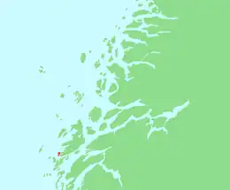
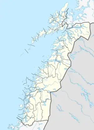 Staulen Location of the island 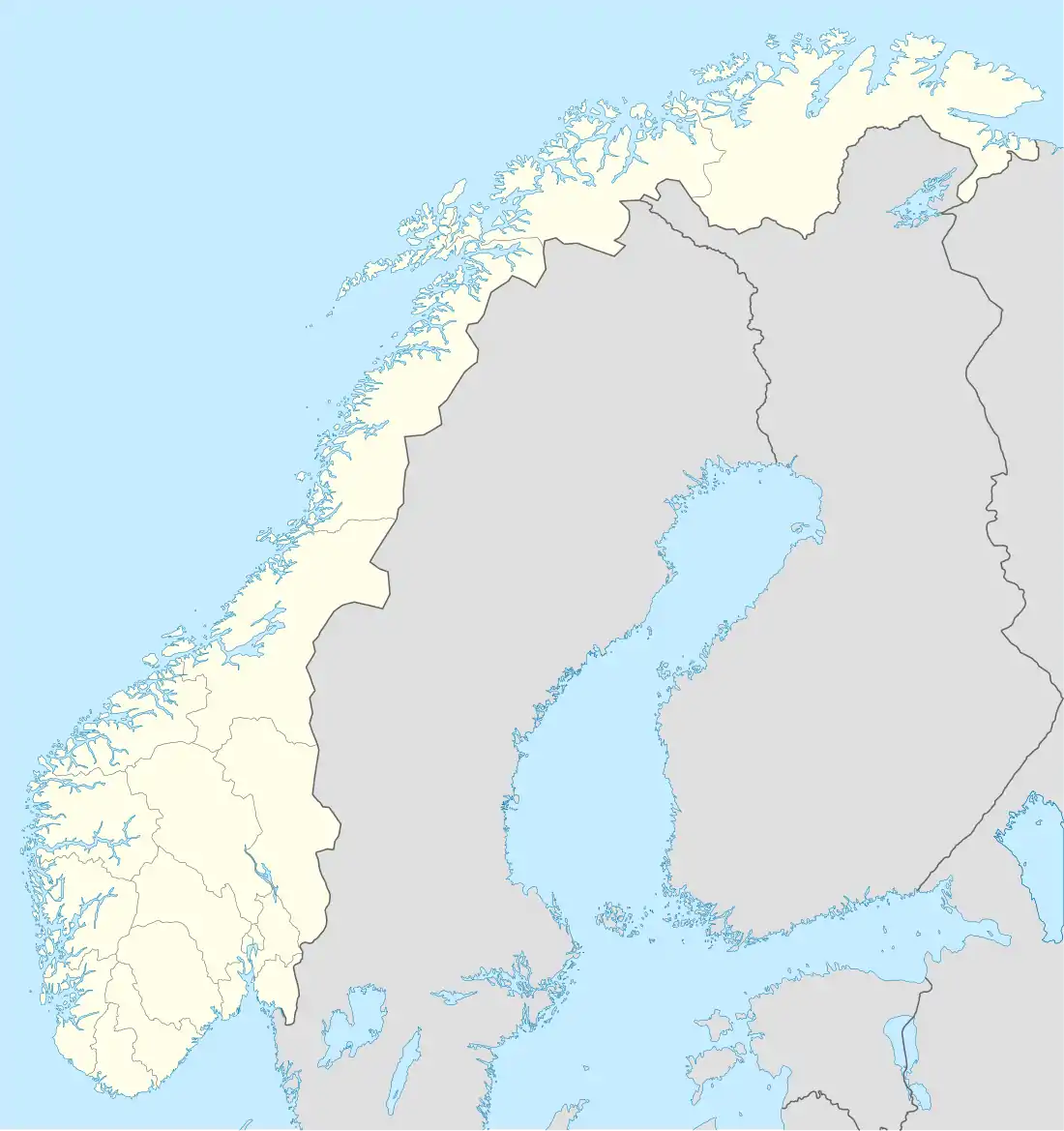 Staulen Staulen (Norway) | |
| Geography | |
|---|---|
| Location | Nordland, Norway |
| Coordinates | 66°01′55″N 12°16′49″E / 66.0320°N 12.2802°E |
| Area | 2.6 km2 (1.0 sq mi) |
| Length | 2.7 km (1.68 mi) |
| Width | 1.6 km (0.99 mi) |
| Highest elevation | 54 m (177 ft) |
| Highest point | Staulhamren |
| Administration | |
Norway | |
| County | Nordland |
| Municipality | Herøy Municipality |
Staulen is an island in the municipality of Herøy in Nordland county, Norway.[1] The 2.6-square-kilometre (1.0 sq mi) island just southwest of the large island of Dønna. The settlements on the island include the villages of Nordstaulen, Sørstaulen, and Sandvikja.[2]
The Åkviksundet (Åkvik Strait) lies between the islands of Staulen and Dønna and the Åkviksundet Bridge and Norwegian County Road 828 connect the two islands.[1] The road continues south through Staulen before crossing various smaller islands, including Landvindsøya, Skardsøya, and Kjeøya, before crossing the Hoholmen Bridge on its way to the island of Nord-Herøy.[1]
See also
References
External links
This article is issued from Wikipedia. The text is licensed under Creative Commons - Attribution - Sharealike. Additional terms may apply for the media files.