
19
| ||||
|---|---|---|---|---|
 | ||||
| Route information | ||||
| Length | 113 km (70 mi) | |||
| Major junctions | ||||
| From | Sergarh (NH 18), Balasore | |||
| Nilagiri, Kaptipada, Udala, Khunta, Baripada | ||||
| To | Gopibalvapur, Paschim Medinipur | |||
| Location | ||||
| Country | India | |||
| State | Odisha | |||
| Districts | Balasore, Mayurbhanj | |||
| Primary destinations | Nilagiri, Udala, Baripada | |||
| Highway system | ||||
| State Highways in Odisha | ||||
| ||||
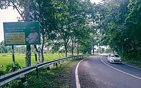
State Highway 19 (Odisha) is a state highway of the Indian state of Odisha, connecting Balasore district to Mayurbhanj district through the mejor settlement Nilagiri, Udala and Baripada.[1][2]
References
- ↑ "Works Department Govt. Of Odisha". www.worksodisha.gov.in. Retrieved 3 August 2022.
- ↑ Taradatt, Dr. Basa, Kishor K (ed.). "Odisha District Gazetteer (Mayurbhanj)" (PDF). Gopabandhu Academy of Administration [Gazetters Unit], General Administration Department Government Of Odisha. p. 119. Archived (PDF) from the original on 7 May 2021.
This article is issued from Wikipedia. The text is licensed under Creative Commons - Attribution - Sharealike. Additional terms may apply for the media files.