Spokane, Louisiana | |
|---|---|
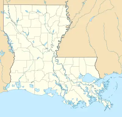 Spokane Location within Louisiana | |
| Coordinates: 31°41′58″N 91°27′37″W / 31.69944°N 91.46028°W | |
| Country | |
| State | |
| Parish | Concordia |
| Area | |
| • Total | 5.76 sq mi (14.92 km2) |
| • Land | 2.35 sq mi (6.09 km2) |
| • Water | 3.41 sq mi (8.83 km2) |
| Elevation | 65 ft (20 m) |
| Population (2020) | |
| • Total | 378 |
| • Density | 160.65/sq mi (62.02/km2) |
| Time zone | UTC-6 (CST) |
| • Summer (DST) | UTC-5 (CST) |
| ZIP Codes | 71334 |
| Area Code | 318 |
| FIPS code | 22-72310 |
Spokane is an unincorporated community and census-designated place (CDP) in Concordia Parish, Louisiana, United States. As of the 2010 census it had a population of 442.[2]
It is located in northeastern Concordia Parish on the southwest side of Lake St. John, an oxbow lake that is a former channel of the Mississippi River. Louisiana State Highway 568 leads southwest from Spokane 7 miles (11 km) to Ferriday.
Demographics
| Census | Pop. | Note | %± |
|---|---|---|---|
| 2020 | 378 | — | |
| U.S. Decennial Census[3] | |||
References
- ↑ "2020 U.S. Gazetteer Files". United States Census Bureau. Retrieved March 20, 2022.
- ↑ "Geographic Identifiers: 2010 Demographic Profile Data (G001): Spokane CDP, Louisiana". U.S. Census Bureau, American Factfinder. Archived from the original on February 12, 2020. Retrieved August 21, 2014.
- ↑ "Census of Population and Housing". Census.gov. Retrieved June 4, 2016.
Municipalities and communities of Concordia Parish, Louisiana, United States | ||
|---|---|---|
| Cities | 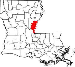 | |
| Towns | ||
| CDPs | ||
| Other communities |
| |
This article is issued from Wikipedia. The text is licensed under Creative Commons - Attribution - Sharealike. Additional terms may apply for the media files.