Spodnja Voličina | |
|---|---|
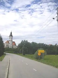 Spodnja Voličina (2007) | |
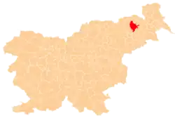
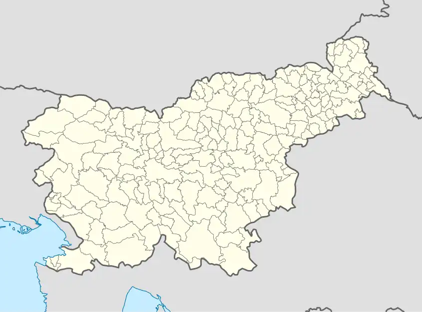 Spodnja Voličina Location in Slovenia | |
| Coordinates: 46°32′10.33″N 15°48′51.56″E / 46.5362028°N 15.8143222°E | |
| Country | |
| Traditional region | Styria |
| Statistical region | Drava |
| Municipality | Municipality of Lenart |
| Area | |
| • Total | 4.98 km2 (1.92 sq mi) |
| Elevation | 328.7 m (1,078.4 ft) |
| Population (2002) | |
| • Total | 536 |
| [1] | |
Spodnja Voličina (pronounced [ˈspoːdnja ʋɔˈliːtʃina], in older sources Spodnja Veličina,[2] German: Unterwellitschen[2]) is a settlement in the Municipality of Lenart in northeastern Slovenia. It lies in the valley of a minor right tributary of the Pesnica River. The area is part of the traditional region of Styria. It is now included in the Drava Statistical Region.[3]
The parish church in the village is dedicated to Saint Rupert and belongs to the Roman Catholic Archdiocese of Maribor. It dates to the 14th century.[4]
References
- ↑ Statistical Office of the Republic of Slovenia
- 1 2 Leksikon občin kraljestev in dežel zastopanih v državnem zboru, vol. 4: Štajersko. Vienna: C. Kr. Dvorna in Državna Tiskarna. 1904. p. 216.
- ↑ Lenart municipal site
- ↑ Slovenian Ministry of Culture register of national heritage reference number ešd 3333
External links
 Media related to Spodnja Voličina at Wikimedia Commons
- Spodnja Voličina on Geopedia
| Settlements | Administrative seat: Lenart v Slovenskih Goricah
|  | ||||
|---|---|---|---|---|---|---|
| Landmarks |
| |||||
This article is issued from Wikipedia. The text is licensed under Creative Commons - Attribution - Sharealike. Additional terms may apply for the media files.