Soppe-le-Haut | |
|---|---|
Part of Le Haut-Soultzbach | |
.svg.png.webp) Coat of arms | |
Location of Soppe-le-Haut | |
 Soppe-le-Haut 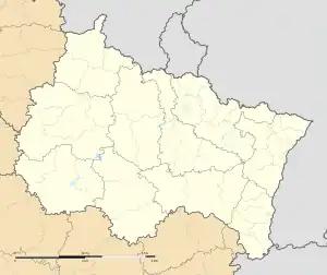 Soppe-le-Haut | |
| Coordinates: 47°43′58″N 7°03′42″E / 47.7328°N 7.0617°E | |
| Country | France |
| Region | Grand Est |
| Department | Haut-Rhin |
| Arrondissement | Thann-Guebwiller |
| Canton | Masevaux-Niederbruck |
| Commune | Le Haut-Soultzbach |
| Area 1 | 7.37 km2 (2.85 sq mi) |
| Population (2019)[1] | 534 |
| • Density | 72/km2 (190/sq mi) |
| Time zone | UTC+01:00 (CET) |
| • Summer (DST) | UTC+02:00 (CEST) |
| Postal code | 68780 |
| Elevation | 317–403 m (1,040–1,322 ft) (avg. 335 m or 1,099 ft) |
| 1 French Land Register data, which excludes lakes, ponds, glaciers > 1 km2 (0.386 sq mi or 247 acres) and river estuaries. | |
Soppe-le-Haut (French pronunciation: [sɔp lə o]; German: Obersulzbach; Alsatian: Ewersulzbàch) is a former commune in the Haut-Rhin department in north-eastern France. On 1 January 2016, it was merged into the new commune Le Haut-Soultzbach.[2]
See also
References
- ↑ Téléchargement du fichier d'ensemble des populations légales en 2019, INSEE
- ↑ Arrêté 23 October 2015 (in French)
Wikimedia Commons has media related to Soppe-le-Haut.
This article is issued from Wikipedia. The text is licensed under Creative Commons - Attribution - Sharealike. Additional terms may apply for the media files.