Siójut | |
|---|---|
Village | |
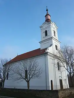 Reformed church of Siójut | |
 Coat of arms | |
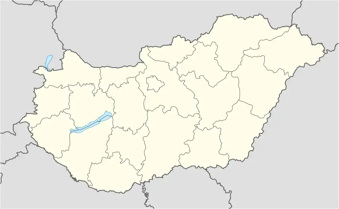 Siójut Location of Siójut | |
| Coordinates: 46°53′00″N 18°08′00″E / 46.883333°N 18.133333°E | |
| Country | |
| Region | Southern Transdanubia |
| County | Somogy |
| District | Siófok |
| RC Diocese | Kaposvár |
| Area | |
| • Total | 10.73 km2 (4.14 sq mi) |
| Population (2017) | |
| • Total | 617[1] |
| Demonym | siójuti |
| Time zone | UTC+1 (CET) |
| • Summer (DST) | UTC+2 (CEST) |
| Postal code | 8652 |
| Area code | (+36) 84 |
| NUTS 3 code | HU232 |
| MP | Mihály Witzmann (Fidesz) |
| Website | Siójut Online |
External links
References
Siójut's neighbours | ||||||||||||||||
|---|---|---|---|---|---|---|---|---|---|---|---|---|---|---|---|---|
| ||||||||||||||||
| Towns (3) |
| |
|---|---|---|
| Large village (1) | ||
| Villages (20) | ||
This article is issued from Wikipedia. The text is licensed under Creative Commons - Attribution - Sharealike. Additional terms may apply for the media files.