Schauenburg | |
|---|---|
 Coat of arms | |
Location of Schauenburg within Kassel district  | |
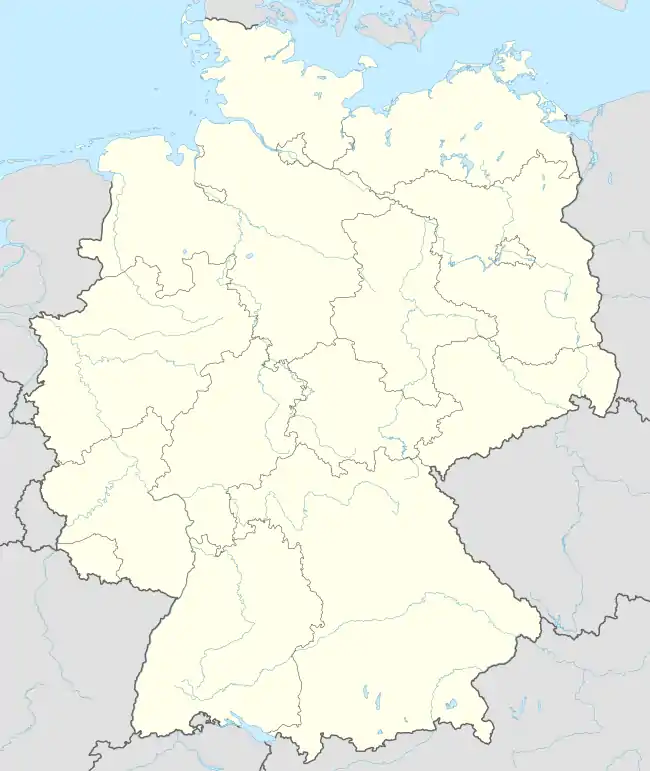 Schauenburg 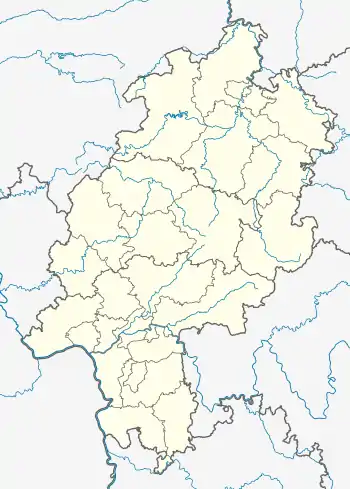 Schauenburg | |
| Coordinates: 51°17′N 09°21′E / 51.283°N 9.350°E | |
| Country | Germany |
| State | Hesse |
| Admin. region | Kassel |
| District | Kassel |
| Government | |
| • Mayor (2023–29) | Michael Plätzer[1] (SPD) |
| Area | |
| • Total | 30.85 km2 (11.91 sq mi) |
| Highest elevation | 615 m (2,018 ft) |
| Lowest elevation | 270 m (890 ft) |
| Population (2022-12-31)[2] | |
| • Total | 10,644 |
| • Density | 350/km2 (890/sq mi) |
| Time zone | UTC+01:00 (CET) |
| • Summer (DST) | UTC+02:00 (CEST) |
| Postal codes | 34270 |
| Dialling codes | 05601 |
| Vehicle registration | KS |
| Website | www.gemeinde-schauenburg.de |
Schauenburg is a municipality in the district of Kassel, in Hesse, Germany. It is situated 11 km (7 mi) west of Kassel. It currently consists of 5 villages: Elgershausen, Hoof, Breitenbach, Martinhagen and Elmshagen, with Elgershausen being the largest and Elmshagen the smallest. The municipal administration is located in Hoof.
References
- ↑ "Ergebnisse der jeweils letzten Direktwahl von Landrätinnen und Landräte sowie (Ober-)Bürgermeisterinnen und (Ober-)Bürgermeister in Hessen, Stand 13.04.2023" (XLS) (in German). Hessisches Statistisches Landesamt.
- ↑ "Bevölkerung in Hessen am 31.12.2022 nach Gemeinden" (XLS) (in German). Hessisches Statistisches Landesamt. June 2023.
Towns and municipalities in Kassel district | ||
|---|---|---|
Wappen des Landkreises Kessel | ||
This article is issued from Wikipedia. The text is licensed under Creative Commons - Attribution - Sharealike. Additional terms may apply for the media files.