Sault-lès-Rethel | |
|---|---|
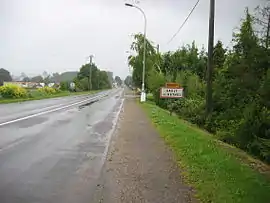 Entrance to the village | |
Location of Sault-lès-Rethel | |
 Sault-lès-Rethel 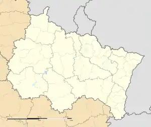 Sault-lès-Rethel | |
| Coordinates: 49°29′47″N 4°21′59″E / 49.4964°N 4.3664°E | |
| Country | France |
| Region | Grand Est |
| Department | Ardennes |
| Arrondissement | Rethel |
| Canton | Rethel |
| Government | |
| • Mayor (2020–2026) | Michel Kociuba[1] |
| Area 1 | 6.45 km2 (2.49 sq mi) |
| Population | 1,928 |
| • Density | 300/km2 (770/sq mi) |
| Time zone | UTC+01:00 (CET) |
| • Summer (DST) | UTC+02:00 (CEST) |
| INSEE/Postal code | 08403 /08300 |
| 1 French Land Register data, which excludes lakes, ponds, glaciers > 1 km2 (0.386 sq mi or 247 acres) and river estuaries. | |
Sault-lès-Rethel (French pronunciation: [so lɛ ʁətɛl], literally Sault near Rethel) is a commune in the Ardennes department in northern France.
Population
| Year | Pop. | ±% |
|---|---|---|
| 1962 | 1,254 | — |
| 1968 | 1,599 | +27.5% |
| 1975 | 2,018 | +26.2% |
| 1982 | 2,116 | +4.9% |
| 1990 | 2,067 | −2.3% |
| 1999 | 1,919 | −7.2% |
| 2008 | 1,879 | −2.1% |
See also
References
- ↑ "Répertoire national des élus: les maires". data.gouv.fr, Plateforme ouverte des données publiques françaises (in French). 2 December 2020.
- ↑ "Populations légales 2020". The National Institute of Statistics and Economic Studies. 29 December 2022.
Wikimedia Commons has media related to Sault-lès-Rethel.
This article is issued from Wikipedia. The text is licensed under Creative Commons - Attribution - Sharealike. Additional terms may apply for the media files.