Sarakreek Airstrip | |||||||||||
|---|---|---|---|---|---|---|---|---|---|---|---|
| Summary | |||||||||||
| Airport type | Public / Military | ||||||||||
| Operator | Luchtvaartdienst Suriname | ||||||||||
| Location | Sarakreek, Suriname | ||||||||||
| Elevation AMSL | 223 ft / 68 m | ||||||||||
| Coordinates | 4°19′10″N 54°58′00″W / 4.31944°N 54.96667°W | ||||||||||
| Map | |||||||||||
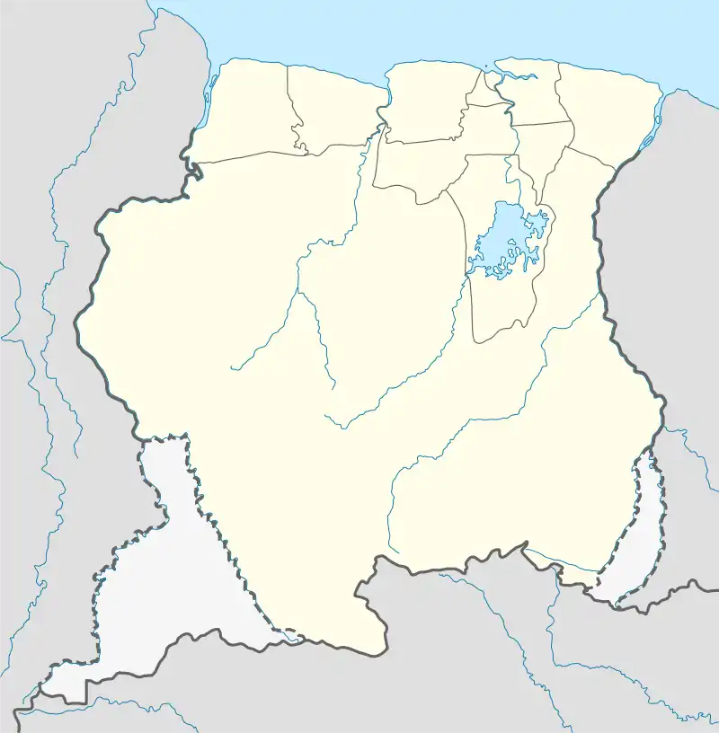 SMSK Location of the airport in Suriname | |||||||||||
| Runways | |||||||||||
| |||||||||||
Sarakreek Airstrip (ICAO: SMSK) is an airstrip serving the gold mining community of Sarakreek, in the Brokopondo District of Suriname.
Charters and destinations
Charter Airlines serving this airport are:
| Airlines | Destinations |
|---|---|
| Blue Wing Airlines | Charter: Paramaribo–Zorg en Hoop[3] |
| Gum Air | Charter: Paramaribo–Zorg en Hoop[4] |
| Hi-Jet Helicopter Services | Charter: Paramaribo–Zorg en Hoop |
See also
References
External links
This article is issued from Wikipedia. The text is licensed under Creative Commons - Attribution - Sharealike. Additional terms may apply for the media files.