Santa Elena | |
|---|---|
.jpg.webp) | |
.svg.png.webp) Flag .svg.png.webp) Coat of arms | |
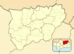 Santa Elena, Spain Location in the Province of Jaén 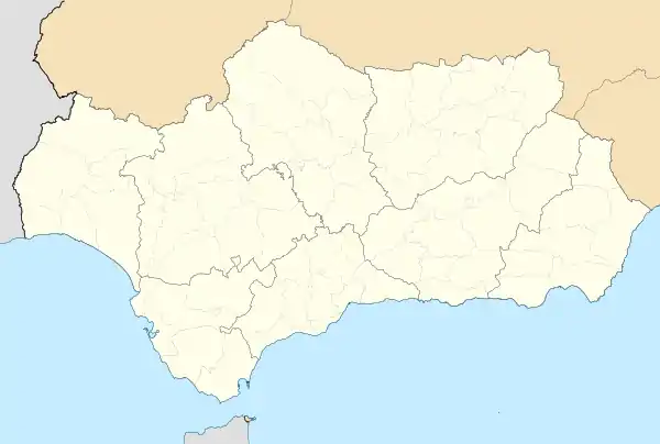 Santa Elena, Spain Santa Elena, Spain (Andalusia) 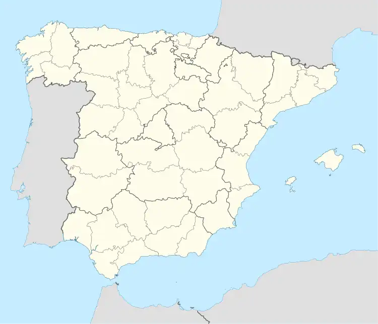 Santa Elena, Spain Santa Elena, Spain (Spain) | |
| Coordinates: 38°20′N 3°32′W / 38.333°N 3.533°W | |
| Country | |
| Autonomous community | |
| Province | |
| Comarca | Sierra Morena |
| Area | |
| • Total | 144 km2 (56 sq mi) |
| Elevation | 742 m (2,434 ft) |
| Population (2018)[1] | |
| • Total | 913 |
| • Density | 6.3/km2 (16/sq mi) |
| Time zone | UTC+1 (CET) |
| • Summer (DST) | UTC+2 (CEST) |
| Postal code | 23213 |
Santa Elena is a municipality in the province of Jaén, in the community autonomous of Andalusia, Spain. According to the 2014 census,[2] the municipality has a population of 1001 inhabitants.
See also
References
- ↑ Municipal Register of Spain 2018. National Statistics Institute.
- ↑ Instituto Nacional de Estadística (INE)
External links
 Media related to Santa Elena (Jaén) at Wikimedia Commons
This article is issued from Wikipedia. The text is licensed under Creative Commons - Attribution - Sharealike. Additional terms may apply for the media files.