San Agustín Etla | |
|---|---|
Municipality and town | |
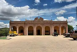 San Agustín Etla's City Hall | |
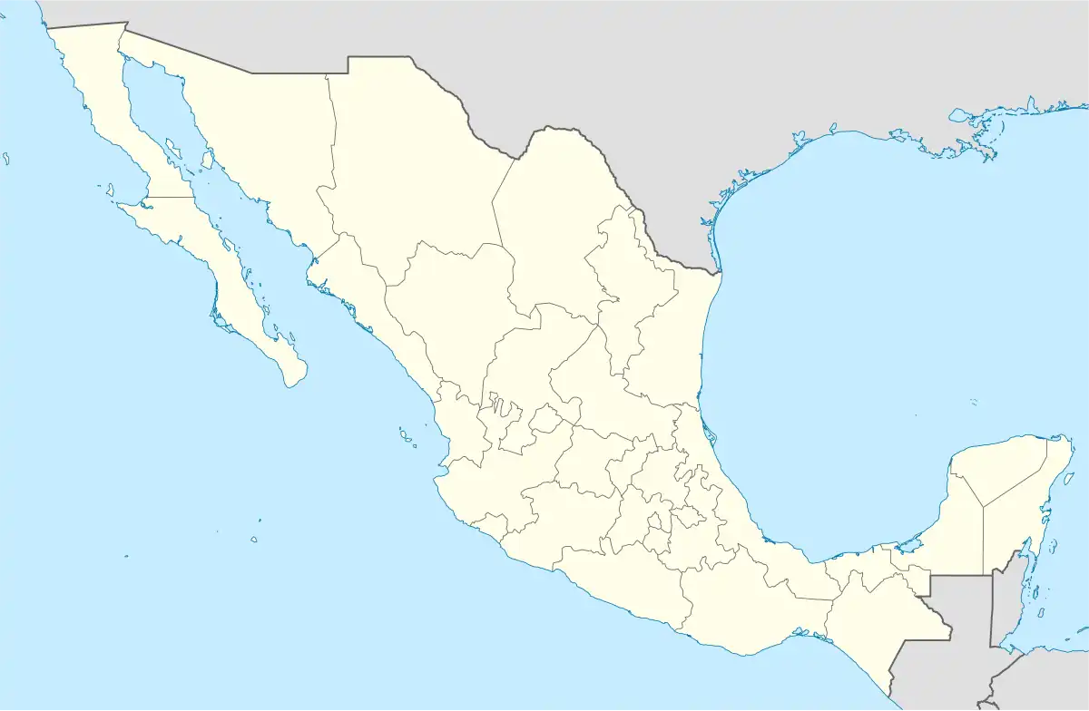 San Agustín Etla Location in Mexico | |
| Coordinates: 17°11′N 96°46′W / 17.183°N 96.767°W | |
| Country | |
| State | Oaxaca |
| Founded | 1583 |
| Area | |
| • Total | 81.65 km2 (31.53 sq mi) |
| Elevation | 1,700 m (5,600 ft) |
| Population (2005) | |
| • Total | 3,243 |
| Time zone | UTC-6 (Central Standard Time) |
| • Summer (DST) | UTC-5 (Central Daylight Time) |
San Agustín Etla is a town and municipality in Oaxaca in south-western Mexico. The municipality covers an area of 81.65 km². It is part of the Etla District in the Valles Centrales region. As of 2005, the municipality had a total population of 3,243.[1]
San Agustín Etla is the home of the Centro de las Artes San Agustín Etla, also known as CaSa. The town hosts a lively Day of the Dead celebration each year on November 1.
References
- ↑ "San Agustín Etla". Enciclopedia de los Municipios de México. Instituto Nacional para el Federalismo y el Desarrollo Municipal. Retrieved June 12, 2009.
External links
This article is issued from Wikipedia. The text is licensed under Creative Commons - Attribution - Sharealike. Additional terms may apply for the media files.