Samambaia | |
|---|---|
| Região Administrativa de Samambaia Administrative Region of Samambaia | |
 Flag | |
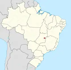
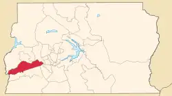 Location of Samambaia in the Federal District | |
| Coordinates: 15°52′34″S 48°05′19″W / 15.87611°S 48.08861°W | |
| Country | |
| Region | Central-West |
| State | |
| Established | 25 October 1989 |
| Government | |
| • Regional administrator | Marcos Leite de Araújo |
| Area | |
| • Total | 102.6 km2 (39.6 sq mi) |
| Population | |
| • Total | 193,485 |
| • Density | 1,900/km2 (4,900/sq mi) |
| Time zone | UTC-3 (UTC-3) |
| • Summer (DST) | UTC-2 (UTC-2) |
| Area code | +55 61 |
| Website | www |
.jpg.webp)
.jpg.webp)
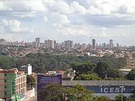
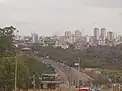
Samambaia is an administrative region in the Federal District in Brazil. It is bordered by Ceilândia and Sol Nascente/Pôr do Sol to the north, Taguatinga to the east, and Riacho Fundo II and Recanto das Emas to the south.
See also
References
External links
Wikimedia Commons has media related to Samambaia, Federal District.
This article is issued from Wikipedia. The text is licensed under Creative Commons - Attribution - Sharealike. Additional terms may apply for the media files.