Saint-Michel-de-Chaillol | |
|---|---|
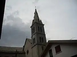 The bell tower in Saint-Michel-de-Chaillol | |
Location of Saint-Michel-de-Chaillol | |
 Saint-Michel-de-Chaillol 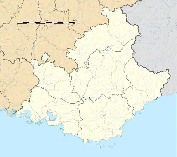 Saint-Michel-de-Chaillol | |
| Coordinates: 44°40′59″N 6°10′05″E / 44.6831°N 6.1681°E | |
| Country | France |
| Region | Provence-Alpes-Côte d'Azur |
| Department | Hautes-Alpes |
| Arrondissement | Gap |
| Canton | Saint-Bonnet-en-Champsaur |
| Government | |
| • Mayor (2020–2026) | Gérard Blanchard[1] |
| Area 1 | 16.78 km2 (6.48 sq mi) |
| Population | 356 |
| • Density | 21/km2 (55/sq mi) |
| Time zone | UTC+01:00 (CET) |
| • Summer (DST) | UTC+02:00 (CEST) |
| INSEE/Postal code | 05153 /05260 |
| Elevation | 1,220–2,745 m (4,003–9,006 ft) (avg. 1,458 m or 4,783 ft) |
| 1 French Land Register data, which excludes lakes, ponds, glaciers > 1 km2 (0.386 sq mi or 247 acres) and river estuaries. | |
Saint-Michel-de-Chaillol (French pronunciation: [sɛ̃ miʃɛl də ʃajɔl]; Occitan: Sant Michèl de Chalhòl), commonly known as Chaillol, is a commune in the French department of Hautes-Alpes, region of Provence-Alpes-Côte d'Azur, southeastern France.
Population
| Year | Pop. | ±% |
|---|---|---|
| 1962 | 231 | — |
| 1968 | 232 | +0.4% |
| 1975 | 253 | +9.1% |
| 1982 | 316 | +24.9% |
| 1990 | 336 | +6.3% |
| 1999 | 301 | −10.4% |
| 2008 | 334 | +11.0% |
See also
References
- ↑ "Répertoire national des élus: les maires". data.gouv.fr, Plateforme ouverte des données publiques françaises (in French). 2 December 2020.
- ↑ "Populations légales 2020". The National Institute of Statistics and Economic Studies. 29 December 2022.
Wikimedia Commons has media related to Saint-Michel-de-Chaillol.
This article is issued from Wikipedia. The text is licensed under Creative Commons - Attribution - Sharealike. Additional terms may apply for the media files.