Saint-Julien | |
|---|---|
.jpg.webp) | |
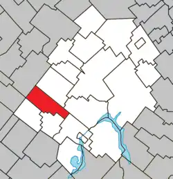 Location within Les Appalaches RCM | |
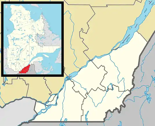 Saint-Julien Location in southern Quebec | |
| Coordinates: 46°00′N 71°32′W / 46°N 71.53°W[1] | |
| Country | |
| Province | |
| Region | Chaudière-Appalaches |
| RCM | Les Appalaches |
| Constituted | July 1, 1855 |
| Government | |
| • Mayor | Serge Laliberté |
| • Federal riding | Mégantic—L'Érable |
| • Prov. riding | Lotbinière-Frontenac |
| Area | |
| • Total | 82.80 km2 (31.97 sq mi) |
| • Land | 81.72 km2 (31.55 sq mi) |
| Population | |
| • Total | 376 |
| • Density | 4.6/km2 (12/sq mi) |
| • Pop 2011-2016 | |
| • Dwellings | 197 |
| Time zone | UTC−5 (EST) |
| • Summer (DST) | UTC−4 (EDT) |
| Postal code(s) | |
| Area code(s) | 418 and 581 |
| Highways | |
| Website | www |
Saint-Julien is a municipality located in the Municipalité régionale de comté des Appalaches in Quebec, Canada. It is part of the Chaudière-Appalaches region and the population is 376 as of 2016. It is named after Julien-Melchior Bernier, the first reverend of the parish between 1856 and 1863.
References
- ↑ "Banque de noms de lieux du Québec: Reference number 388322". toponymie.gouv.qc.ca (in French). Commission de toponymie du Québec.
- 1 2 "Répertoire des municipalités: Geographic code 31035". www.mamh.gouv.qc.ca (in French). Ministère des Affaires municipales et de l'Habitation.
- 1 2 "Census Profile, 2016 Census - Saint-Julien, Municipalité [Census subdivision], Quebec and Quebec [Province]". 8 February 2017.
External links
 Media related to Saint-Julien, Quebec at Wikimedia Commons
- Commission de toponymie du Québec
- Ministère des Affaires municipales, des Régions et de l'Occupation du territoire
Places adjacent to Saint-Julien, Quebec | |
|---|---|
| Cities & Towns | |
|---|---|
| Municipalities | |
| Parishes | |
| |
This article is issued from Wikipedia. The text is licensed under Creative Commons - Attribution - Sharealike. Additional terms may apply for the media files.