Saül Airport | |||||||||||
|---|---|---|---|---|---|---|---|---|---|---|---|
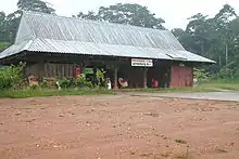 Saül Airport's terminal building | |||||||||||
| Summary | |||||||||||
| Operator | Conseil Général de la Guyane | ||||||||||
| Serves | Saül, French Guiana | ||||||||||
| Elevation AMSL | 703 ft / 214 m | ||||||||||
| Coordinates | 03°36′55″N 53°12′15″W / 3.61528°N 53.20417°W | ||||||||||
| Map | |||||||||||
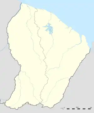 XAU Location of airport in French Guiana | |||||||||||
| Runways | |||||||||||
| |||||||||||
Saül Airport (IATA: XAU, ICAO: SOOS) is an airstrip serving Saül, a commune of French Guiana.
The airport is just southeast of the village. There are low hills west and northeast of the runway. The Saul non-directional beacon (Ident: SU) is located in the village.[3]
Airlines and destinations
| Airlines | Destinations |
|---|---|
| Air Guyane Express | Cayenne, Maripasoula[4] |
Statistics
Annual passenger traffic at XAU airport.
See Wikidata query.
See also
References
- ↑ Airport information for Saül Airport at Great Circle Mapper.
- ↑ Google Maps - Saül Airport
- ↑ Saul NDB
- ↑ "Air Guyane Express". Retrieved 23 August 2010.
External links
- OpenStreetMap - Saül
- OurAirports - Saül Airport
- SkyVector - Saül Airport
- Accident history for Saül Airport at Aviation Safety Network
This article is issued from Wikipedia. The text is licensed under Creative Commons - Attribution - Sharealike. Additional terms may apply for the media files.