 | |
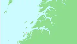 | |
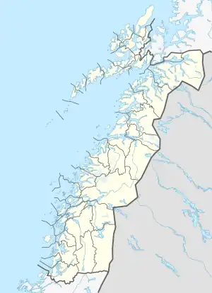 Sørarnøya Location of the island 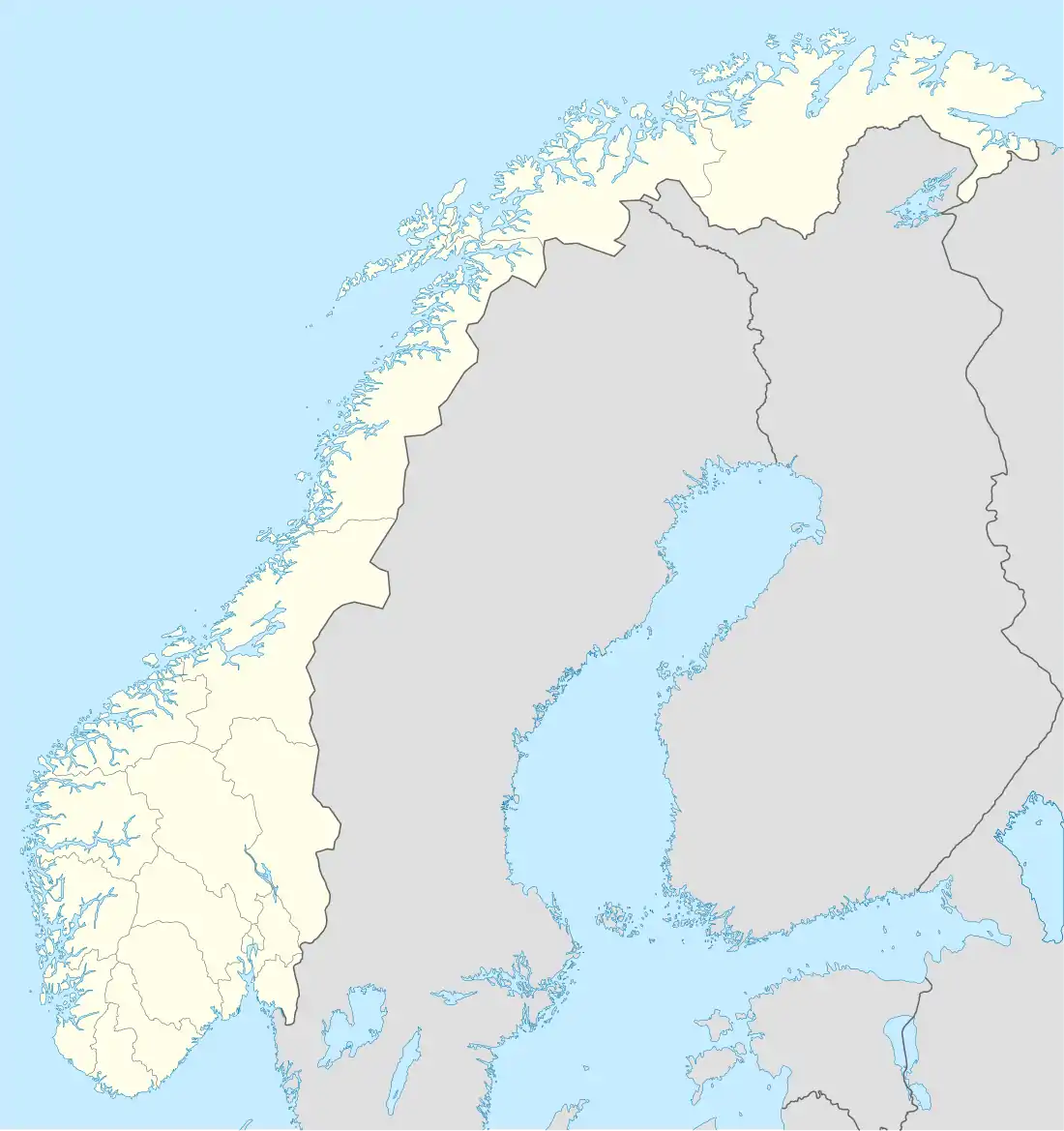 Sørarnøya Sørarnøya (Norway) | |
| Geography | |
|---|---|
| Location | Nordland, Norway |
| Coordinates | 67°08′11″N 13°58′01″E / 67.1363°N 13.9669°E |
| Area | 4 km2 (1.5 sq mi) |
| Length | 3.5 km (2.17 mi) |
| Width | 1.5 km (0.93 mi) |
| Highest elevation | 54 m (177 ft) |
| Highest point | Storåsen |
| Administration | |
Norway | |
| County | Nordland |
| Municipality | Gildeskål Municipality |
| Demographics | |
| Population | 199 (2016) |
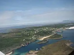
Sørarnøya or Sør-Arnøya[1] is a small island in the municipality of Gildeskål in Nordland county, Norway. The 4-square-kilometre (1.5 sq mi) island is located west of the neighboring island of Sandhornøya and south of the island of Nordarnøya. Sørarnøya and Nordarnøya are linked with a 100-metre (330 ft) long bridge.[2]
The population (2016) of the island is 199. The main village on the island is the village of Sør-Arnøy. The closest town to Sørarnøya is Bodø, to the north, which can be reached by boat.[2]
See also
References
- ↑ "Stadnamn og skrivemåten for stadnamn" (in Norwegian). Kartverket. Retrieved 2019-01-30.
- 1 2 Thorsnæs, Geir, ed. (2017-07-14). "Sørarnøya". Store norske leksikon (in Norwegian). Kunnskapsforlaget. Retrieved 2019-01-30.
This article is issued from Wikipedia. The text is licensed under Creative Commons - Attribution - Sharealike. Additional terms may apply for the media files.