Sérignan-du-Comtat | |
|---|---|
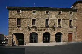 The town hall of Sérignan-du-Comtat | |
.svg.png.webp) Coat of arms | |
Location of Sérignan-du-Comtat | |
 Sérignan-du-Comtat 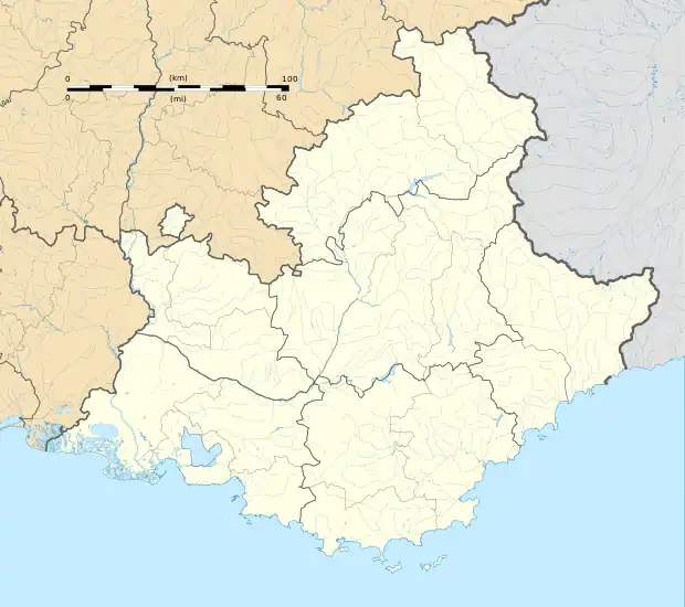 Sérignan-du-Comtat | |
| Coordinates: 44°11′24″N 4°50′39″E / 44.19°N 4.8442°E | |
| Country | France |
| Region | Provence-Alpes-Côte d'Azur |
| Department | Vaucluse |
| Arrondissement | Carpentras |
| Canton | Bollène |
| Intercommunality | Aygues Ouvèze en Provence |
| Government | |
| • Mayor (2020–2026) | Julien Merle[1] |
| Area 1 | 19.82 km2 (7.65 sq mi) |
| Population | 2,856 |
| • Density | 140/km2 (370/sq mi) |
| Time zone | UTC+01:00 (CET) |
| • Summer (DST) | UTC+02:00 (CEST) |
| INSEE/Postal code | 84127 /84830 |
| Elevation | 53–240 m (174–787 ft) (avg. 80 m or 260 ft) |
| 1 French Land Register data, which excludes lakes, ponds, glaciers > 1 km2 (0.386 sq mi or 247 acres) and river estuaries. | |
Sérignan-du-Comtat (French pronunciation: [seʁiɲɑ̃ dy kɔ̃ta]; Occitan: Serinhan dau Comtat) is a commune in the Vaucluse department in the Provence-Alpes-Côte d'Azur region in southeastern France.
The entomologist Jean-Henri Fabre (1823–1915) died in Sérignan-du-Comtat.
Population
| Year | Pop. | ±% p.a. |
|---|---|---|
| 1968 | 1,194 | — |
| 1975 | 1,488 | +3.19% |
| 1982 | 1,975 | +4.13% |
| 1990 | 2,069 | +0.58% |
| 1999 | 2,254 | +0.96% |
| 2007 | 2,414 | +0.86% |
| 2012 | 2,448 | +0.28% |
| 2017 | 2,676 | +1.80% |
| Source: INSEE[3] | ||
Points of interest
- Harmas de Fabre
- Musée-Atelier Werner Lichtner-Aix [4]
See also
References
- ↑ "Répertoire national des élus: les maires" (in French). data.gouv.fr, Plateforme ouverte des données publiques françaises. 13 September 2022.
- ↑ "Populations légales 2020". The National Institute of Statistics and Economic Studies. 29 December 2022.
- ↑ Population en historique depuis 1968, INSEE
- ↑ Musée-Atelier Werner Lichtner-Aix
Wikimedia Commons has media related to Sérignan-du-Comtat.
This article is issued from Wikipedia. The text is licensed under Creative Commons - Attribution - Sharealike. Additional terms may apply for the media files.