Roseville, Iowa | |
|---|---|
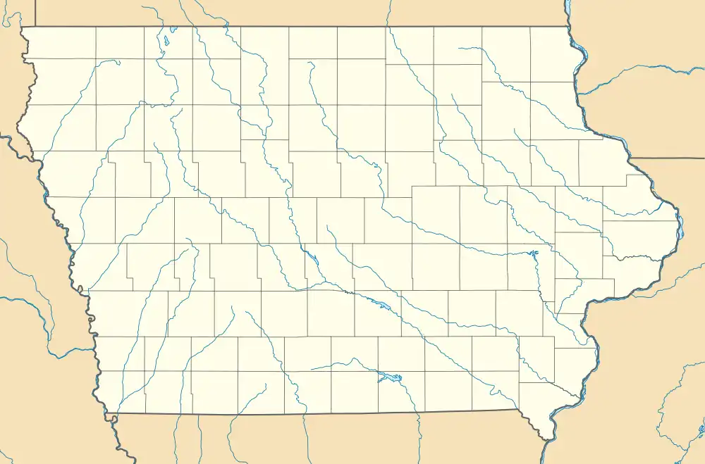 Roseville Location in Iowa | |
| Coordinates: 43°0′36″N 92°48′43″W / 43.01000°N 92.81194°W | |
| Country | United States |
| State | Iowa |
| County | Floyd |
| Township | Ulster and Union |
| Area | |
| • Total | 3.69 sq mi (9.56 km2) |
| • Land | 3.69 sq mi (9.56 km2) |
| • Water | 0.00 sq mi (0.00 km2) |
| Population (2020) | |
| • Total | 39 |
| • Density | 10.56/sq mi (4.08/km2) |
| Time zone | Central (CST) |
| FIPS code | 19-68800 |
Roseville is a census-designated place[2] mainly located in Ulster Township and a small portion in the northern part of Union Township in Floyd County in the state of Iowa. As of the 2010 census the population was 49.[3]
Its location is approximately 6 miles (10 km) northeast of the city of Marble Rock or 11 miles (18 km) southwest of the city of Charles City, along Iowa Highway 14.
Demographics
| Census | Pop. | Note | %± |
|---|---|---|---|
| 2020 | 39 | — | |
| U.S. Decennial Census[4] | |||
References
- ↑ "2020 U.S. Gazetteer Files". United States Census Bureau. Retrieved March 16, 2022.
- ↑
- ↑ "Decennial Census of Population and Housing by Decades".
- ↑ "Census of Population and Housing". Census.gov. Retrieved June 4, 2016.
Municipalities and communities of Floyd County, Iowa, United States | ||
|---|---|---|
| Cities | Map of Iowa highlighting Floyd County | |
| Townships | ||
| CDP | ||
| Other unincorporated communities | ||
| Footnotes | ‡This populated place also has portions in an adjacent county or counties | |
This article is issued from Wikipedia. The text is licensed under Creative Commons - Attribution - Sharealike. Additional terms may apply for the media files.