Rinard Mills, Ohio | |
|---|---|
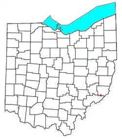 Location of Rinard Mills, Ohio | |
| Coordinates: 39°35′05″N 81°09′18″W / 39.58472°N 81.15500°W | |
| Country | United States |
| State | Ohio |
| County | Monroe |
| Elevation | 686 ft (209 m) |
| Time zone | UTC-5 (Eastern (EST)) |
| • Summer (DST) | UTC-4 (EDT) |
| Area code(s) | 740 & 220 |
| GNIS feature ID | 1065545[1] |
Rinard Mills is a small unincorporated community on the Little Muskingum River in southwestern Washington Township, Monroe County, Ohio, United States. It is named after Isaac Rinard, who owned a mill at the village. The village is situated on State Route 26 between Marietta (county seat of Washington County) and Woodsfield (county seat of Monroe County). The village has a cemetery. Several years ago, a resident of the community found the remains of a mill stone in the Little Muskingum. It was incorporated into Isaac Rinard's grave marker and was cause for a special event.
References
Municipalities and communities of Monroe County, Ohio, United States | ||
|---|---|---|
| Villages | 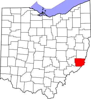 Map of Ohio highlighting Monroe County | |
| Townships | ||
| CDPs | ||
| Unincorporated communities | ||
| Ghost town | ||
| Footnotes | ‡This populated place also has portions in an adjacent county or counties | |
This article is issued from Wikipedia. The text is licensed under Creative Commons - Attribution - Sharealike. Additional terms may apply for the media files.