Ragogna
| |
|---|---|
| Comune di Ragogna | |
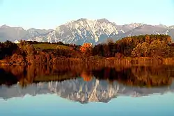 Lake of Ragogna | |
Location of Ragogna | |
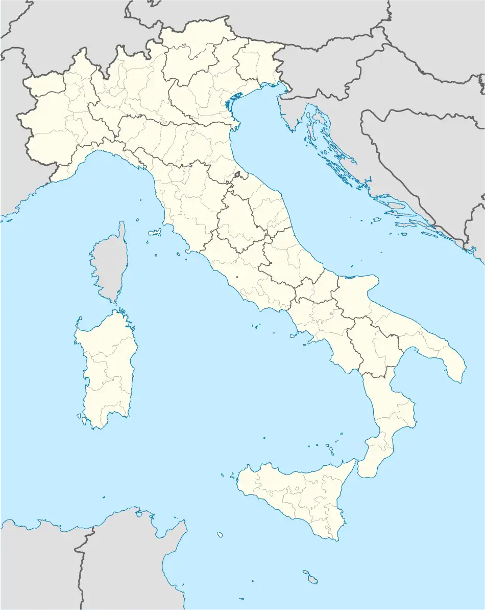 Ragogna Location of Ragogna in Italy 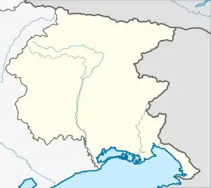 Ragogna Ragogna (Friuli-Venezia Giulia) | |
| Coordinates: 46°11′N 12°59′E / 46.183°N 12.983°E | |
| Country | Italy |
| Region | Friuli Venezia Giulia |
| Province | Udine (UD) |
| Frazioni | San Giacomo, San Pietro, Muris, Villuzza, Ca' Farra, Canodusso, and Pignano |
| Government | |
| • Mayor | Alma Concil |
| Area | |
| • Total | 22.03 km2 (8.51 sq mi) |
| Elevation | 235 m (771 ft) |
| Population (31 December 2015)[2] | |
| • Total | 2,909 |
| • Density | 130/km2 (340/sq mi) |
| Demonym | Ragognesi |
| Time zone | UTC+1 (CET) |
| • Summer (DST) | UTC+2 (CEST) |
| Postal code | 33030 |
| Dialing code | 0432 |
| Patron saint | St. James |
| Website | Official website |
Ragogna (Friulian: Ruvigne) is a comune (municipality) in the Regional decentralization entity of Udine in the Italian region of Friuli Venezia Giulia, located about 90 kilometres (56 mi) northwest of Trieste and about 30 kilometres (19 mi) northwest of Udine.
Ragogna borders the following municipalities: Forgaria nel Friuli, Pinzano al Tagliamento, San Daniele del Friuli.
Twin towns
Ragogna is twinned with:
 Weitensfeld im Gurktal, Austria, since 2003
 Sainte-Bazeille, France, since 2010
References
- ↑ "Superficie di Comuni Province e Regioni italiane al 9 ottobre 2011". Italian National Institute of Statistics. Retrieved 16 March 2019.
- ↑ All demographics and other statistics: Italian statistical institute Istat.

This article is issued from Wikipedia. The text is licensed under Creative Commons - Attribution - Sharealike. Additional terms may apply for the media files.