Potnjani | |
|---|---|
Village | |
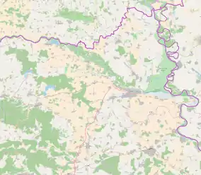 Potnjani 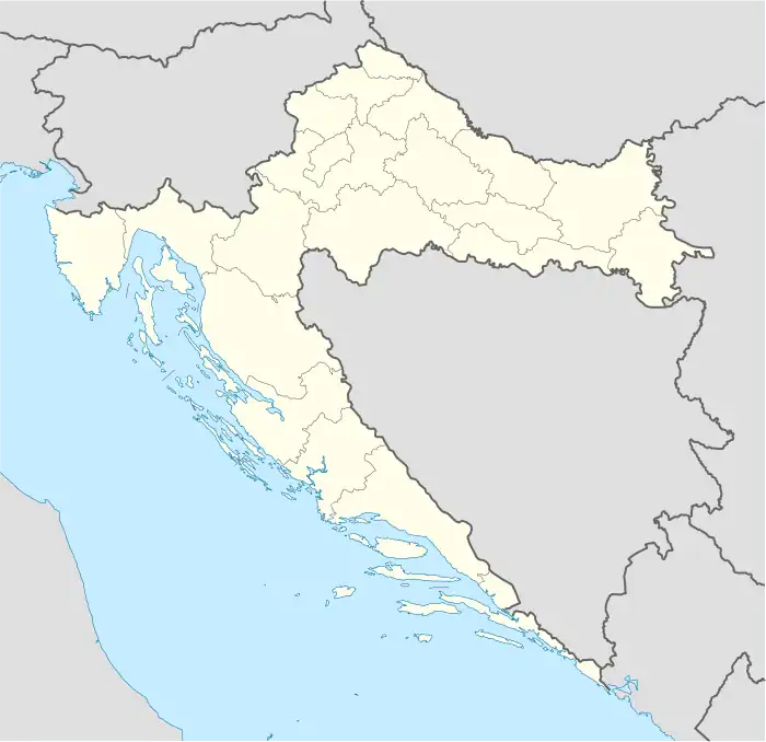 Potnjani  Potnjani | |
| Coordinates: 45°24′N 18°19′E / 45.400°N 18.317°E | |
| Country | |
| County | |
| Area | |
| • Total | 11.4 km2 (4.4 sq mi) |
| Population (2021)[2] | |
| • Total | 396 |
| • Density | 35/km2 (90/sq mi) |
| Time zone | UTC+1 (CET) |
| • Summer (DST) | UTC+2 (CEST) |
Potnjani is a village in Croatia. It is connected by the D515 highway.
Name
The name of the village in Croatian is plural.
References
- ↑ Register of spatial units of the State Geodetic Administration of the Republic of Croatia. Wikidata Q119585703.
- ↑ "Population by Age and Sex, by Settlements, 2021 Census". Census of Population, Households and Dwellings in 2021. Zagreb: Croatian Bureau of Statistics. 2022.
This article is issued from Wikipedia. The text is licensed under Creative Commons - Attribution - Sharealike. Additional terms may apply for the media files.