Portimão | |
|---|---|
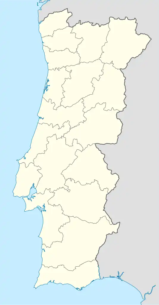 Portimão Location in Portugal | |
| Coordinates: 37°08′20″N 8°32′13″W / 37.139°N 8.537°W | |
| Country | |
| Region | Algarve |
| Intermunic. comm. | Algarve |
| District | Faro |
| Municipality | Portimão |
| Area | |
| • Total | 75.66 km2 (29.21 sq mi) |
| Population (2011) | |
| • Total | 45,431 |
| • Density | 600/km2 (1,600/sq mi) |
| Time zone | UTC±00:00 (WET) |
| • Summer (DST) | UTC+01:00 (WEST) |
| Website | http://www.jf-portimao.pt/ |
Portimão is a freguesia (parish) in the municipality of Portimão (Algarve, Portugal). The population in 2011 was 45,431,[1] in an area of 75.66 km².[2]
Main sites
- Colégio dos Jesuítas Convent
- Misericórdia Church
- Nossa Senhora da Conceição Church
- Santa Catarina Fort
- São Francisco Convent or Nossa Senhora da Esperança Convent
References
- ↑ Instituto Nacional de Estatística
- ↑ "Áreas das freguesias, concelhos, distritos e país". Archived from the original on 2018-11-05. Retrieved 2018-11-05.
This article is issued from Wikipedia. The text is licensed under Creative Commons - Attribution - Sharealike. Additional terms may apply for the media files.