39°38′38″N 45°28′13″E / 39.64389°N 45.47028°E
Por
Փոռ | |
|---|---|
 Por 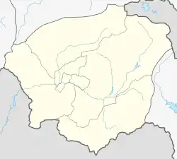 Por | |
| Coordinates: 39°38′38″N 45°28′13″E / 39.64389°N 45.47028°E | |
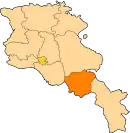
| Country | Armenia |
| Province | Vayots Dzor |
| Municipality | Vayk |
| Elevation | 1,510 m (4,950 ft) |
| Population | |
| • Total | 134 |
| Time zone | UTC+4 (AMT) |
| Por, Armenia at GEOnet Names Server | |
Por (Armenian: Փոռ) is a village in the Vayk Municipality of the Vayots Dzor Province of Armenia. It has a 19th-century church and a medieval cemetery.
References
External links
- Report of the results of the 2001 Armenian Census, Statistical Committee of Armenia
- Kiesling, Brady (2005), Rediscovering Armenia: Guide, Yerevan, Armenia: Matit Graphic Design Studio
- Kiesling, Brady (June 2000). Rediscovering Armenia: An Archaeological/Touristic Gazetteer and Map Set for the Historical Monuments of Armenia (PDF). Archived (PDF) from the original on 6 November 2021.
This article is issued from Wikipedia. The text is licensed under Creative Commons - Attribution - Sharealike. Additional terms may apply for the media files.