| Pinks Beach South Australia | |
|---|---|
 Pinks Beach | |
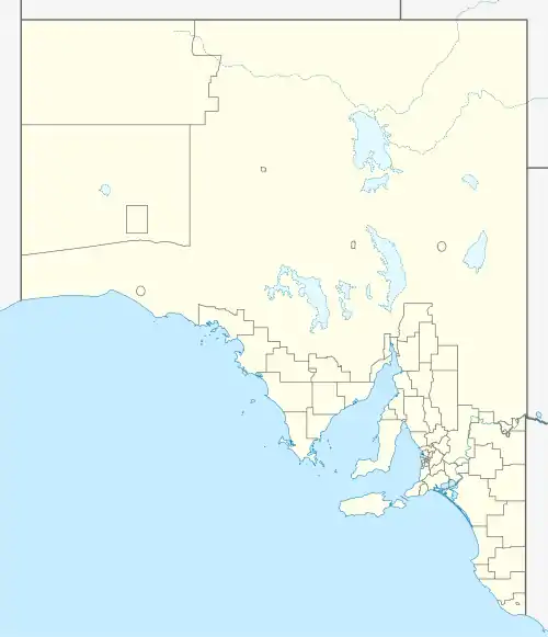
| Coordinates | 36°52′12″S 139°49′14″E / 36.87000°S 139.82056°E |
| Population | 70 (2016 census)[1] |
| Established | 3 December 1998[2] |
| Postcode(s) | 5275 |
| LGA(s) | Kingston District Council |
| State electorate(s) | MacKillop |
| Federal division(s) | Barker |
Pinks Beach is a locality located within the Kingston District Council in the Limestone Coast region of South Australia.
References
- ↑ Australian Bureau of Statistics (27 June 2017). "Pinks Beach (State Suburb)". 2016 Census QuickStats. Retrieved 13 September 2017.
- ↑ "GEOGRAPHICAL NAMES ACT 1991 Notice to Assign Boundaries and Names to Places (in the District Council of Lacepede)" (PDF). The South Australian Government Gazette. Government of South Australia. 3 December 1998. p. 1711. Retrieved 4 December 2018.
This article is issued from Wikipedia. The text is licensed under Creative Commons - Attribution - Sharealike. Additional terms may apply for the media files.