Pilisjászfalu | |
|---|---|
 | |
 Flag  Coat of arms | |
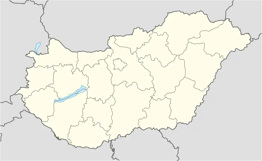 Pilisjászfalu Location of Pilisjászfalu in Hungary | |
| Coordinates: 47°39′17″N 18°47′43″E / 47.654721°N 18.795279°E | |
| Country | Hungary |
| Region | Central Hungary |
| County | Pest |
| Subregion | Pilisvörösvári |
| Rank | Village |
| Government | |
| • Mayor | Bányai József |
| Area | |
| • Total | 6.97 km2 (2.69 sq mi) |
| Population (1 January 2008)[2] | |
| • Total | 1,428 |
| • Density | 200/km2 (530/sq mi) |
| Time zone | UTC+1 (CET) |
| • Summer (DST) | UTC+2 (CEST) |
| Postal code | 2080 |
| Area code | +36 26 |
| KSH code | 34148[1] |
| Website | www.pilisjaszfalu.hu |
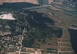
Pilisjászfalu is a village in Pest county, Budapest metropolitan area, Hungary. It has a population of 1,396 (2007).
References
- 1 2 Pilisjászfalu at the Hungarian Central Statistical Office (Hungarian).
- ↑ Pilisjászfalu at the Hungarian Central Statistical Office (Hungarian). 1 January 2008
47°39′17″N 18°47′43″E / 47.654721°N 18.795279°E
This article is issued from Wikipedia. The text is licensed under Creative Commons - Attribution - Sharealike. Additional terms may apply for the media files.