Parhi
Pārhi | |
|---|---|
Village | |
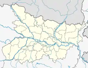 Parhi Location in Bihar, India 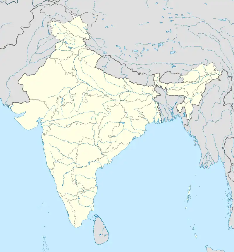 Parhi Parhi (India) | |
| Coordinates: 25°05′59″N 83°23′04″E / 25.09978°N 83.38443°E[1] | |
| Country | India |
| State | Bihar |
| District | Kaimur |
| Area | |
| • Total | 4.12 km2 (1.59 sq mi) |
| Elevation | 87 m (285 ft) |
| Population (2011) | |
| • Total | 2,673[2] |
| Languages | |
| • Official | Bhojpuri, Hindi |
| Time zone | UTC+5:30 (IST) |
Parhi is a village in Chand block of Kaimur district, Bihar, India. As of 2011, its population was 2,673, in 421 households.[2]
References
- 1 2 "Geonames.org. Pārhi". Retrieved 2 February 2021.
- 1 2 3 "Census of India 2011: Bihar District Census Handbook - Kaimur, Part A (Village and Town Directory)". Census 2011 India. pp. 472–527. Retrieved 2 February 2021.
This article is issued from Wikipedia. The text is licensed under Creative Commons - Attribution - Sharealike. Additional terms may apply for the media files.