Pardilhó | |
|---|---|
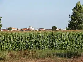 The town seen from the west | |
 Coat of arms | |
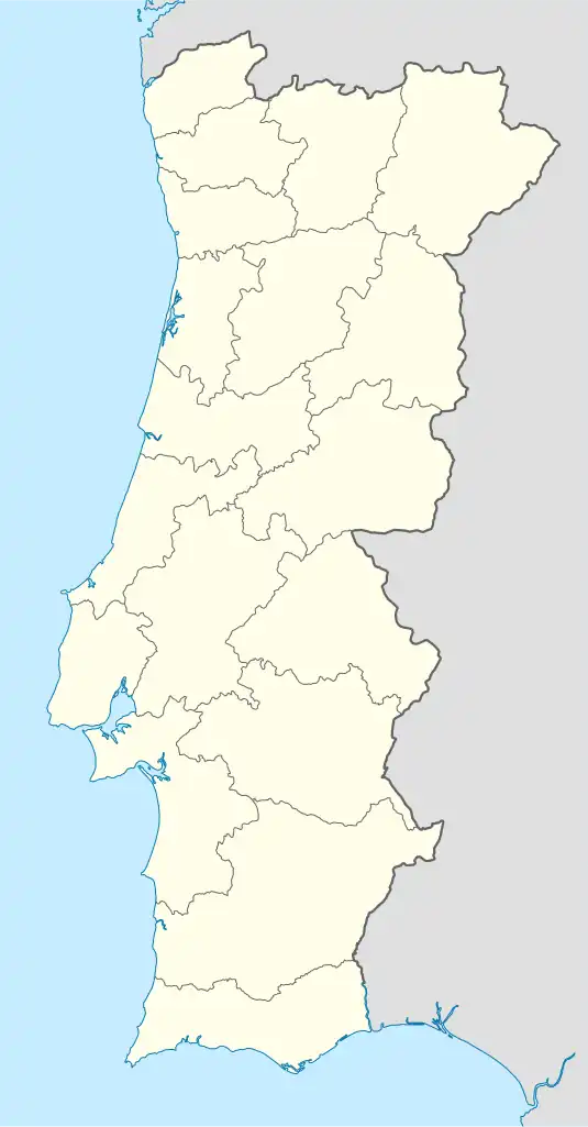 Pardilhó Location in Portugal | |
| Coordinates: 40°47′51″N 8°37′29″W / 40.79750°N 8.62472°W | |
| Country | |
| Region | Centro |
| Intermunic. comm. | Região de Aveiro |
| District | Aveiro |
| Municipality | Estarreja |
| Area | |
| • Total | 15.7 km2 (6.1 sq mi) |
| Population (2011) | |
| • Total | 4,176 |
| • Density | 270/km2 (690/sq mi) |
| Time zone | UTC±00:00 (WET) |
| • Summer (DST) | UTC+01:00 (WEST) |
| Postal code | 3860 - 464 Pardilhó |
Pardilhó is a village and a civil parish of the municipality of Estarreja, Portugal. The population in 2011 was 4,176,[1] in an area of 15.7 km2.[2]
References
- ↑ Instituto Nacional de Estatística (INE), Census 2011 results according to the 2013 administrative division of Portugal
- ↑ "Áreas das freguesias, concelhos, distritos e país". Archived from the original on 2018-11-05. Retrieved 2018-11-05.
This article is issued from Wikipedia. The text is licensed under Creative Commons - Attribution - Sharealike. Additional terms may apply for the media files.