| Otadaonanis River | |
|---|---|
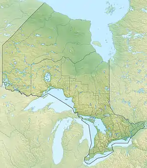 Location of the river mouth in Ontario | |
| Location | |
| Country | Canada |
| Province | Ontario |
| Region | Northwestern Ontario |
| District | Kenora |
| Physical characteristics | |
| Source | |
| • coordinates | 51°47′37″N 83°18′28″W / 51.79361°N 83.30778°W |
| • elevation | 73 m (240 ft) |
| Mouth | Kapiskau River |
• coordinates | 52°45′50″N 82°04′35″W / 52.76389°N 82.07639°W |
• elevation | 6 m (20 ft) |
| Basin features | |
| River system | James Bay drainage basin |
The Otadaonanis River is a river in northeastern Kenora District in northwestern Ontario, Canada.[1] It is in the James Bay drainage basin and is a right tributary of the Kapiskau River.
The Otadaonanis River begins on gravel and flows north-northeast to its mouth at the Kapiskau River, 7.5 kilometres (4.7 mi) upstream of the latter river's mouth at James Bay.
References
- ↑ "Otadaonanis River". Geographical Names Data Base. Natural Resources Canada. Retrieved 2016-04-24.
Sources
- "Otadaonanis River" at Atlas of Canada. Accessed 2016-04-24.
- Map 18 (PDF) (Map). 1 : 1,600,000. Official road map of Ontario. Ministry of Transportation of Ontario. 2014. Retrieved 2016-04-20.
This article is issued from Wikipedia. The text is licensed under Creative Commons - Attribution - Sharealike. Additional terms may apply for the media files.