Ontonagon Township, Michigan | |
|---|---|
 | |
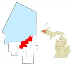 Location within Ontonagon County (red) and the administered village of Ontonagon (pink) | |
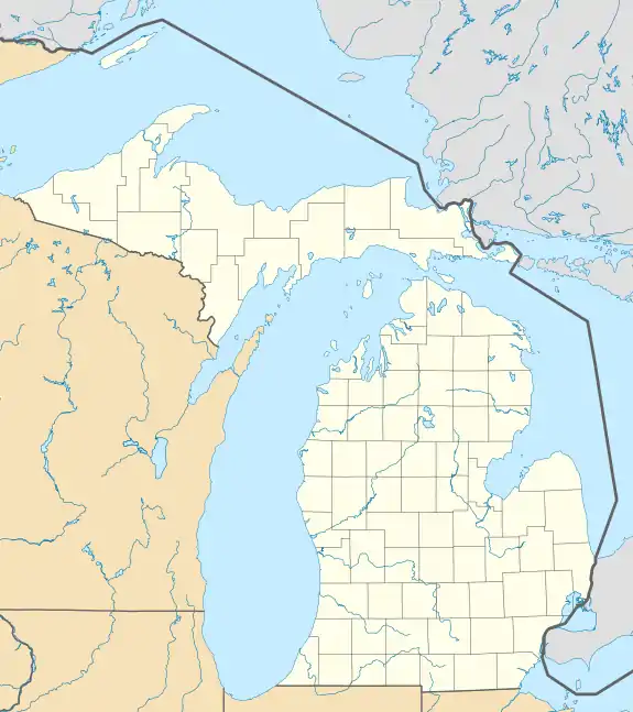 Ontonagon Township Location within the state of Michigan  Ontonagon Township Ontonagon Township (the United States) | |
| Coordinates: 46°51′22″N 89°17′31″W / 46.85611°N 89.29194°W | |
| Country | United States |
| State | Michigan |
| County | Ontonagon |
| Government | |
| • Supervisor | Steven Store |
| • Clerk | William Chabot |
| Area | |
| • Total | 193.58 sq mi (501.4 km2) |
| • Land | 192.88 sq mi (499.6 km2) |
| • Water | 0.70 sq mi (1.8 km2) |
| Elevation | 810 ft (247 m) |
| Population (2020) | |
| • Total | 2,253 |
| • Density | 13.4/sq mi (5.2/km2) |
| Time zone | UTC-5 (Eastern (EST)) |
| • Summer (DST) | UTC-4 (EDT) |
| ZIP code(s) | 49953 (Ontonagon) |
| Area code | 906 |
| FIPS code | 26-60880[1] |
| GNIS feature ID | 1626851[2] |
Ontonagon Township (/ˌɒntəˈnɑːɡən/ ON-tə-NAH-gən) is a civil township of Ontonagon County in the U.S. state of Michigan. The population was 2,253 at the 2020 census.[3]
Geography
According to the United States Census Bureau, the township has a total area of 193.58 square miles (501.37 km2), of which 192.88 square miles (499.56 km2) is land and 0.70 square miles (1.81 km2) (0.36%) is water.
Communities
References
- ↑ "U.S. Census website". United States Census Bureau. Retrieved January 31, 2008.
- ↑ U.S. Geological Survey Geographic Names Information System: Ontonagon Township, Michigan
- ↑ "Explore Census Data". data.census.gov. Retrieved August 4, 2023.
Municipalities and communities of Ontonagon County, Michigan, United States | ||
|---|---|---|
| Village | 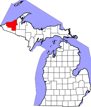 Map of Michigan highlighting Ontonagon County.svg | |
| Civil townships | ||
| CDPs | ||
| Other communities | ||
| Ghost town | ||
| Indian reservation | ||
This article is issued from Wikipedia. The text is licensed under Creative Commons - Attribution - Sharealike. Additional terms may apply for the media files.