Omerville | |
|---|---|
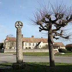 The cross and the manor, in Omerville | |
.svg.png.webp) Coat of arms | |
Location of Omerville | |
 Omerville 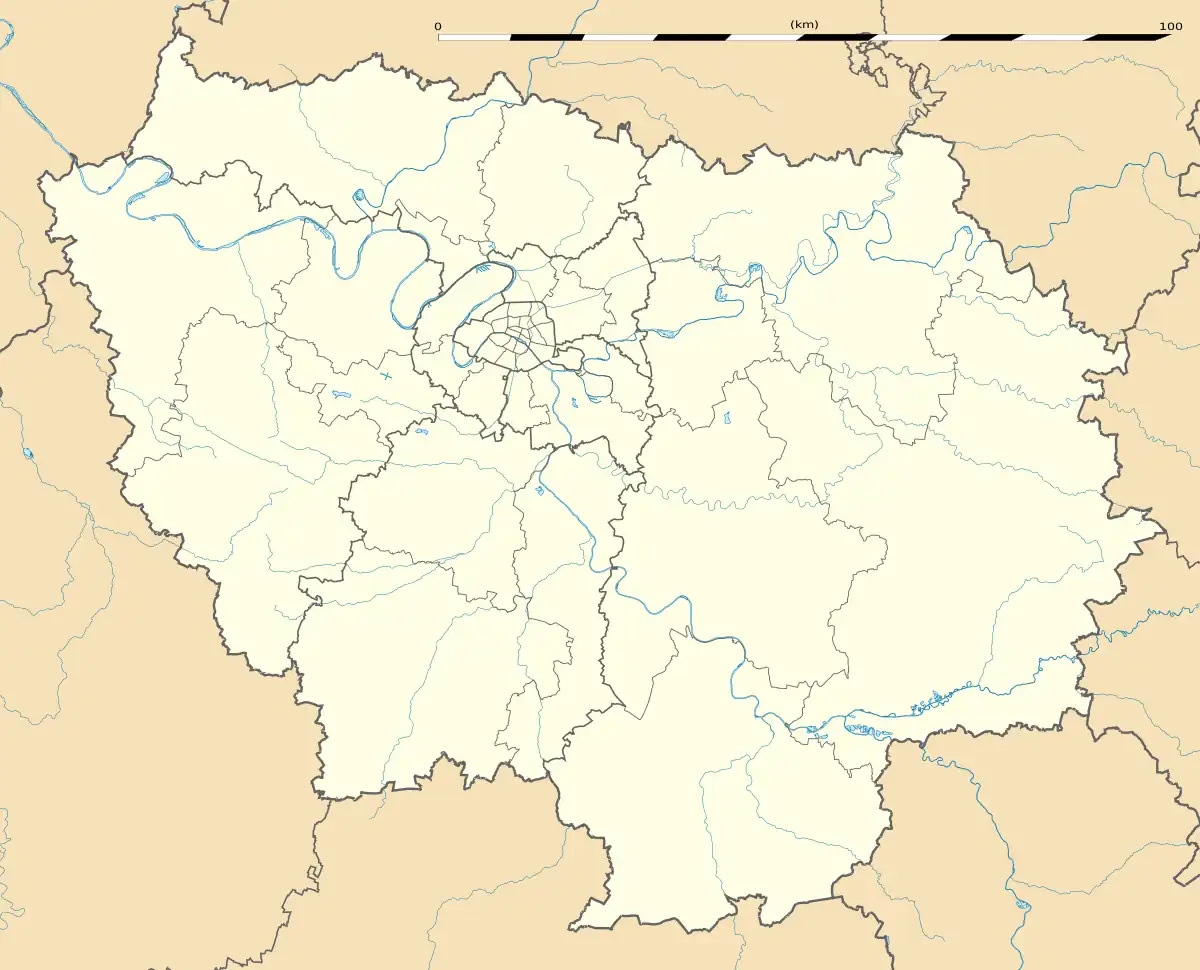 Omerville | |
| Coordinates: 49°08′29″N 1°43′11″E / 49.1414°N 1.7197°E | |
| Country | France |
| Region | Île-de-France |
| Department | Val-d'Oise |
| Arrondissement | Pontoise |
| Canton | Vauréal |
| Government | |
| • Mayor (2020–2026) | Denys de Magnitot[1] |
| Area 1 | 11.98 km2 (4.63 sq mi) |
| Population | 322 |
| • Density | 27/km2 (70/sq mi) |
| Time zone | UTC+01:00 (CET) |
| • Summer (DST) | UTC+02:00 (CEST) |
| INSEE/Postal code | 95462 /95420 |
| Elevation | 42–157 m (138–515 ft) |
| 1 French Land Register data, which excludes lakes, ponds, glaciers > 1 km2 (0.386 sq mi or 247 acres) and river estuaries. | |
Omerville (French pronunciation: [ɔmɛʁvil] ⓘ) is a commune in the Val-d'Oise department and Île-de-France region of France. It is located in the regional nature park of Vexin.
Geography
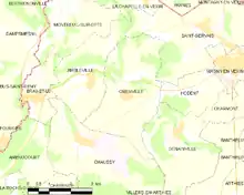
A map of the commune
The commune is located approximately 56 km from Paris.
See also
References
- ↑ "Répertoire national des élus: les maires" (in French). data.gouv.fr, Plateforme ouverte des données publiques françaises. 13 September 2022.
- ↑ "Populations légales 2020". The National Institute of Statistics and Economic Studies. 29 December 2022.
External links
Wikimedia Commons has media related to Omerville.
- Base Mérimée: Search for heritage in the commune, Ministère français de la Culture. (in French)
- Association of Mayors of the Val d'Oise (in French)
This article is issued from Wikipedia. The text is licensed under Creative Commons - Attribution - Sharealike. Additional terms may apply for the media files.