Oloví | |
|---|---|
.jpg.webp) View from a hill | |
 Coat of arms | |
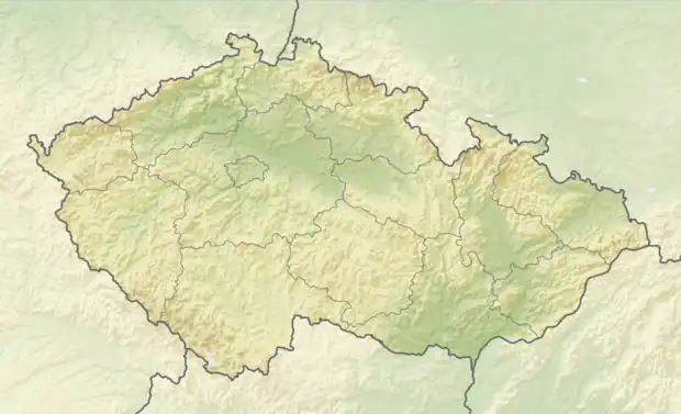 Oloví Location in the Czech Republic | |
| Coordinates: 50°14′44″N 12°33′3″E / 50.24556°N 12.55083°E | |
| Country | |
| Region | Karlovy Vary |
| District | Sokolov |
| First mentioned | 1523 |
| Government | |
| • Mayor | Jiří Mikuláš |
| Area | |
| • Total | 19.05 km2 (7.36 sq mi) |
| Elevation | 528 m (1,732 ft) |
| Population (2023-01-01)[1] | |
| • Total | 1,620 |
| • Density | 85/km2 (220/sq mi) |
| Time zone | UTC+1 (CET) |
| • Summer (DST) | UTC+2 (CEST) |
| Postal code | 357 07 |
| Website | www |
Oloví (German: Bleistadt) is a town in Sokolov District in the Karlovy Vary Region of the Czech Republic. It has about 1,600 inhabitants.
Administrative parts
Villages of Hory, Nové Domy and Studenec are administrative parts of Oloví.
History
The first written mention of Oloví is from 1523. Since its foundation, lead and to a lesser extent silver were mined in the area, hence the town's name (lead = olovo in Czech).[2]
From 1938 to 1945 it was one of the municipalities in Sudetenland.
Twin towns – sister cities
 Kastl, Germany
References
- ↑ "Population of Municipalities – 1 January 2023". Czech Statistical Office. 2023-05-23.
- ↑ "Historie Oloví". olovi.cz (in Czech). Město Oloví. Retrieved 2021-06-04.
- ↑ "Partnerské město Kastl" (in Czech). Město Oloví. Retrieved 2020-07-25.
External links
Wikimedia Commons has media related to Oloví.
This article is issued from Wikipedia. The text is licensed under Creative Commons - Attribution - Sharealike. Additional terms may apply for the media files.