 | |
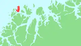
 Nordkvaløya Location of the island 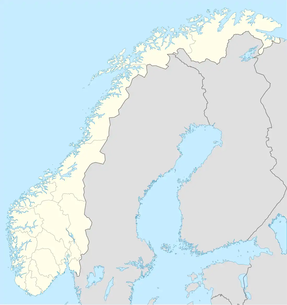 Nordkvaløya Nordkvaløya (Norway) | |
| Geography | |
|---|---|
| Location | Troms og Finnmark, Norway |
| Coordinates | 70°10′40″N 19°08′45″E / 70.1777°N 19.1458°E |
| Area | 84.4 km2 (32.6 sq mi) |
| Length | 17 km (10.6 mi) |
| Width | 10 km (6 mi) |
| Coastline | 65 km (40.4 mi) |
| Highest elevation | 736 m (2415 ft) |
| Highest point | Storalangen |
| Administration | |
Norway | |
| County | Troms og Finnmark |
| Municipality | Karlsøy Municipality |
| Demographics | |
| Population | 3 (2017) |
| Pop. density | 0.035/km2 (0.091/sq mi) |
Nordkvaløya is an island in the municipality of Karlsøy in Troms og Finnmark county, Norway.[1] The island is situated north of the islands of Ringvassøya and west of Helgøya. The Norwegian Sea borders to the northwest. The 84.4-square-kilometre (32.6 sq mi) island of Nordkvaløya is very rugged and mountainous. The highest point is Storalangen at 736 m (2,415 ft). In 2017, the island had 3 residents.[2]
See also
References
- ↑ Statistisk sentralbyrå (2001). "Folke- og boligtellingen 2001, kommune- og bydelshefter 1936 Karlsøy" (PDF) (in Norwegian).
- ↑ Store norske leksikon. "Kvaløya – øy i Karlsøy" (in Norwegian). Archived from the original on 2016-03-08. Retrieved 2012-12-15.
This article is issued from Wikipedia. The text is licensed under Creative Commons - Attribution - Sharealike. Additional terms may apply for the media files.