Noëllet | |
|---|---|
Part of Ombrée d'Anjou | |
Location of Noëllet | |
 Noëllet 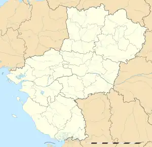 Noëllet | |
| Coordinates: 47°41′40″N 1°05′25″W / 47.6944°N 1.0903°W | |
| Country | France |
| Region | Pays de la Loire |
| Department | Maine-et-Loire |
| Arrondissement | Segré |
| Canton | Segré |
| Commune | Ombrée d'Anjou |
| Area 1 | 15.4 km2 (5.9 sq mi) |
| Population (2019)[1] | 406 |
| • Density | 26/km2 (68/sq mi) |
| Time zone | UTC+01:00 (CET) |
| • Summer (DST) | UTC+02:00 (CEST) |
| Postal code | 49520 |
| Elevation | 33–104 m (108–341 ft) (avg. 40 m or 130 ft) |
| 1 French Land Register data, which excludes lakes, ponds, glaciers > 1 km2 (0.386 sq mi or 247 acres) and river estuaries. | |
Noëllet (French pronunciation: [nɔɛlɛ] ⓘ) is a former commune in the Maine-et-Loire department in western France. On 15 December 2016, it was merged into the new commune Ombrée d'Anjou.[2] Its population was 406 in 2019.[1]
Geography
The river Verzée flows southeastward through the northern part of the commune.
Demography
| Year | 1962 | 1968 | 1975 | 1982 | 1990 | 1999 | 2005 |
|---|---|---|---|---|---|---|---|
| Population | 639 | 573 | 543 | 494 | 451 | 393 | 369 |
See also
References
- 1 2 Téléchargement du fichier d'ensemble des populations légales en 2019, INSEE
- ↑ Arrêté préfectoral 7 December 2016 (in French)
Wikimedia Commons has media related to Noëllet.
This article is issued from Wikipedia. The text is licensed under Creative Commons - Attribution - Sharealike. Additional terms may apply for the media files.