Nijehaske | |
|---|---|
Neighbourhood and village | |
 | |
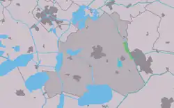 Location in the former Skarsterlân municipality | |
 Nijehaske Location in the Netherlands 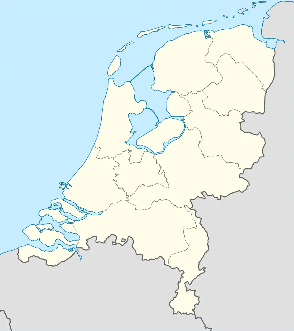 Nijehaske Nijehaske (Netherlands) | |
| Coordinates: 52°57′40″N 5°53′36″E / 52.96111°N 5.89333°E | |
| Country | |
| Province | |
| Municipality | |
| Area | |
| • Total | 0.44 km2 (0.17 sq mi) |
| Elevation | 0.0 m (0.0 ft) |
| Population (2021)[1] | |
| • Total | 55 |
| • Density | 130/km2 (320/sq mi) |
| Postal code | 8466[1] |
| Dialing code | 0513 |
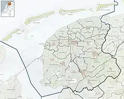
Nijehaske is a village in De Fryske Marren municipality, west of Heerenveen in the province of Friesland, the Netherlands. It had a population of around 55 in 2017.[3] In 1934, most of Nijehaske was transferred to Heerenveen and has become a neighbourhood.[4]
History
The village was first mentioned in 1496 as Nya Hascha, and has Nije (new) to distinguish from Oudehaske.[5] Haske is probably a type of grass.[6] Nijehaske is a northern settlement of Oudehaske, and was a 16th-century peat excavation project. The Dutch Reformed Church was built in 1775, but has been transferred to Heerenveen. In 1840, it was home to 1,105 people.[4]
Before 2014, Goingarijp was part of the Skarsterlân municipality and before 1984 it was part of Haskerland.[4]
Gallery
 Church at Nijehaske
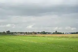
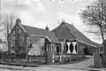 Farm in Nijehaske
References
- 1 2 3 "Kerncijfers wijken en buurten 2021". Central Bureau of Statistics. Retrieved 29 March 2022.
Statistics are for the village
- ↑ "Postcodetool for 8466NP". Actueel Hoogtebestand Nederland (in Dutch). Het Waterschapshuis. Retrieved 29 March 2022.
- ↑ Kerncijfers wijken en buurten 2017 - CBS
- 1 2 3 "Nijehaske". Plaatsengids (in Dutch). Retrieved 29 March 2022.
- ↑ "Nijehaske - (geografische naam)". Etymologiebank (in Dutch). Retrieved 29 March 2022.
- ↑ "Oudehaske - (geografische naam)". Etymologiebank (in Dutch). Retrieved 29 March 2022.
External links
![]() Media related to Nijehaske at Wikimedia Commons
Media related to Nijehaske at Wikimedia Commons