Nankan
南関町 | |
|---|---|
Town | |
 Nankan town office | |
 Flag  Chapter | |
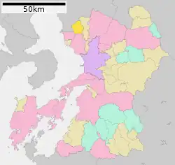 Location of Nankan in Kumamoto Prefecture | |
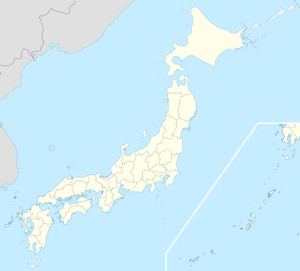 Nankan Location in Japan | |
| Coordinates: 33°03′N 130°32′E / 33.050°N 130.533°E | |
| Country | Japan |
| Region | Kyushu |
| Prefecture | Kumamoto Prefecture |
| District | Tamana |
| Area | |
| • Total | 68.92 km2 (26.61 sq mi) |
| Population (October 1, 2016) | |
| • Total | 9,572 |
| • Density | 140/km2 (360/sq mi) |
| Time zone | UTC+09:00 (JST) |
| Website | www |
Nankan (南関町, Nankan-machi) is a town in Tamana District, Kumamoto Prefecture, Japan.
As of October 1, 2016, the town has an estimated population of 9,572 and a density of 140 persons per km². The total area is 68.92 km².[1] The town's main crops are rice and bamboo.
References
- ↑ "Overview of Nankan Town" (in Japanese). Japan: Nankan Town. Archived from the original on 15 May 2012. Retrieved 30 April 2017.
External links
 Media related to Nankan, Kumamoto at Wikimedia Commons
- Nankan official website (in Japanese)
This article is issued from Wikipedia. The text is licensed under Creative Commons - Attribution - Sharealike. Additional terms may apply for the media files.