| Mount Göztepe | |
|---|---|
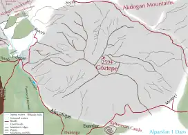 Map of the mountain | |
| Highest point | |
| Elevation | 2.594 m (8.51 ft) |
| Coordinates | 39°06′46″N 41°50′47″E / 39.112679°N 41.846389°E |
| Geography | |
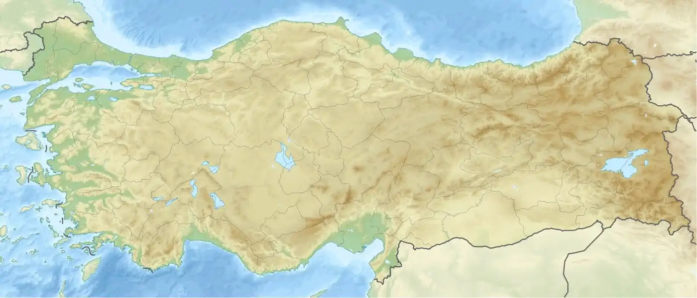 Mount Göztepe Turkey | |
| Location | Varto, Bulanık, Muş Province, Turkey |
| Parent range | Akdoğan Mountains |
Mount Göztepe (Turkish: Göztepe Dağı or Kolibaba Dağı), is a mountain of 2594 meters high that naturally determines the border of Varto and Bulanık districts of Muş.[1]
Geology and geomorphology
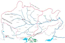
Mount Göztepe is a part of the Akdoğan Mountains and located south of the mountain range and in the north of Bilican mountains.[2] [3] It is one of the highest mountains of Muş province. There are more than 20 villages at the foot of the mountain.[4] Due to the similarity of the typical Armenian plateaus, it is very similar in terms of height, valley and shape to Mount Ara in Armenia.
Flora
The main plant species in the Mount Göztepe are Toxic Ferula and non-toxic Ferula, Rheum ribes, Gundelia, Sorrel, Arum maculatum, Asphodelus, Paeonia turcica, Diplotaenia cachrydifolia Boiss, Astragalus kurdicus and Chaerophyllum macrospermum. In addition, there are Pleurotus eryngii var. ferulae mushrooms In the high parts of the mountain.
References
- ↑ "Muş il fiziki haritası" (PDF) (in Turkish). Harita genel müdürlüğü. September 28, 2023. Archived (PDF) from the original on August 18, 2023.
- ↑ "Coğrafya". Bulanık ilçe milli eğitim müdürlüğü (in Turkish). Retrieved 2023-09-28.
- ↑ "Kaza of Bulanık - Geography". houshamadyan.org (in Turkish). Retrieved 2017-10-25.
- ↑ "Muş ilinde yaylaların dağılışı" (PDF) (in Turkish). Turkish Studies- International Balkan University. March 2019. p. 23. Archived (PDF) from the original on August 20, 2023.