| Moel Druman | |
|---|---|
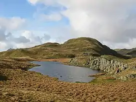 Moel Druman from Allt Fawr col | |
| Highest point | |
| Elevation | 676 m (2,218 ft)[1] |
| Prominence | 61 m (200 ft) |
| Parent peak | Allt-fawr |
| Listing | Hewitt, Nuttall |
| Coordinates | 53°00′33″N 3°58′56″W / 53.00916°N 3.98224°W |
| Geography | |
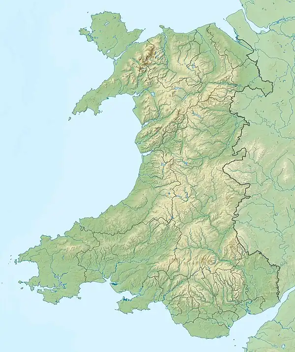 Moel Druman Location in NW Wales | |
| Country | Wales |
| County | Gwynedd |
| Parent range | Snowdonia |
| OS grid | SH671476 |
| Topo map | OS Landranger 115 |
Moel Druman is a mountain in Snowdonia, North Wales and forms part of the Moelwynion. It is a subsidiary summit of Allt-fawr.[2]
References
- ↑ "Topographic map of Moel Druman". opentopomap.org. Retrieved 13 June 2023.
- ↑ Nuttall, John & Anne (1999). The Mountains of England & Wales - Volume 1: Wales (2nd ed.). Milnthorpe, Cumbria: Cicerone Press. ISBN 1-85284-304-7.
{{cite book}}: CS1 maint: multiple names: authors list (link)
External links
This article is issued from Wikipedia. The text is licensed under Creative Commons - Attribution - Sharealike. Additional terms may apply for the media files.