Mirri Khurd
Kusal Khera | |
|---|---|
Village | |
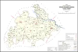 Map showing Mirri Khurd (#495) in Asoha CD block | |
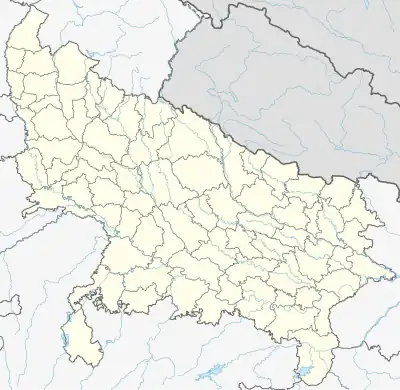 Mirri Khurd Location in Uttar Pradesh, India | |
| Coordinates: 26°33′04″N 80°46′18″E / 26.550989°N 80.771621°E[1] | |
| Country India | |
| State | Uttar Pradesh |
| District | Unnao |
| Area | |
| • Total | 1.662 km2 (0.642 sq mi) |
| Population (2011)[2] | |
| • Total | 589 |
| • Density | 350/km2 (920/sq mi) |
| Languages | |
| • Official | Hindi |
| Time zone | UTC+5:30 (IST) |
| Vehicle registration | UP-35 |
Mirri Khurd , also called Kusal Khera,[1] is a village in Asoha block of Unnao district, Uttar Pradesh, India.[2] It has no schools or healthcare facilities.[2] As of 2011, its population is 589, in 109 households.[2]
The 1961 census recorded Mirri Khurd (under the spelling "Miri Khurd") as comprising 1 hamlets, with a total population of 234 (122 male and 112 female), in 40 households and 40 physical houses.[3] The area of the village was given as 420 acres.[3]
References
- 1 2 Search for "Mirri Khurd" here https://geonames.nga.mil/namesgaz/.
{{cite web}}: Missing or empty|title=(help) - 1 2 3 4 5 "Census of India 2011: Uttar Pradesh District Census Handbook - Unnao, Part A (Village and Town Directory)". Census 2011 India. pp. 323–47. Retrieved 9 July 2021.
- 1 2 Census 1961: District Census Handbook, Uttar Pradesh (37 - Unnao District) (PDF). Lucknow. 1965. pp. xcviii-xcviv of section "Purwa Tehsil". Retrieved 9 July 2021.
{{cite book}}: CS1 maint: location missing publisher (link)
This article is issued from Wikipedia. The text is licensed under Creative Commons - Attribution - Sharealike. Additional terms may apply for the media files.