Millerton, Pennsylvania | |
|---|---|
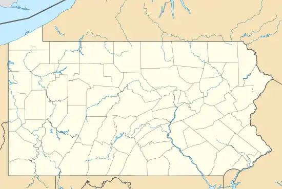 Millerton Location within the state of Pennsylvania  Millerton Millerton (the United States) | |
| Coordinates: 41°51′50″N 76°57′18″W / 41.86389°N 76.95500°W | |
| Country | United States |
| State | Pennsylvania |
| County | Tioga |
| Township | Jackson |
| Area | |
| • Total | 0.85 sq mi (2.21 km2) |
| • Land | 0.85 sq mi (2.21 km2) |
| • Water | 0.00 sq mi (0.00 km2) |
| Population | |
| • Total | 318 |
| • Density | 371.93/sq mi (143.63/km2) |
| Time zone | UTC-5 (Eastern (EST)) |
| • Summer (DST) | UTC-4 (EDT) |
| ZIP code | 16936 |
| Area code(s) | 570 and 272 |
| FIPS code | 42-49736 |
Millerton is a census-designated place in Jackson Township, Tioga County, Pennsylvania, United States with the ZIP code 16936. It is located in far northeastern Tioga County, a few miles from the New York border. The community is situated along Pennsylvania Route 328. As of the 2010 census, the population was 316 residents.
Demographics
| Census | Pop. | Note | %± |
|---|---|---|---|
| 2020 | 318 | — | |
| U.S. Decennial Census[3] | |||
References
- ↑ "ArcGIS REST Services Directory". United States Census Bureau. Retrieved October 12, 2022.
- ↑ "Census Population API". United States Census Bureau. Retrieved October 12, 2022.
- ↑ "Census of Population and Housing". Census.gov. Retrieved June 4, 2016.
Municipalities and communities of Tioga County, Pennsylvania, United States | ||
|---|---|---|
| Boroughs | 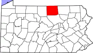 | |
| Townships | ||
| CDPs | ||
| Unincorporated communities | ||
This article is issued from Wikipedia. The text is licensed under Creative Commons - Attribution - Sharealike. Additional terms may apply for the media files.