Mikstat | |
|---|---|
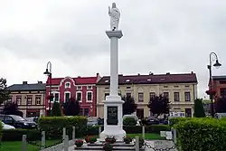 Market Square in Mikstat | |
 Flag  Coat of arms | |
 Mikstat | |
| Coordinates: 51°32′N 17°58′E / 51.533°N 17.967°E | |
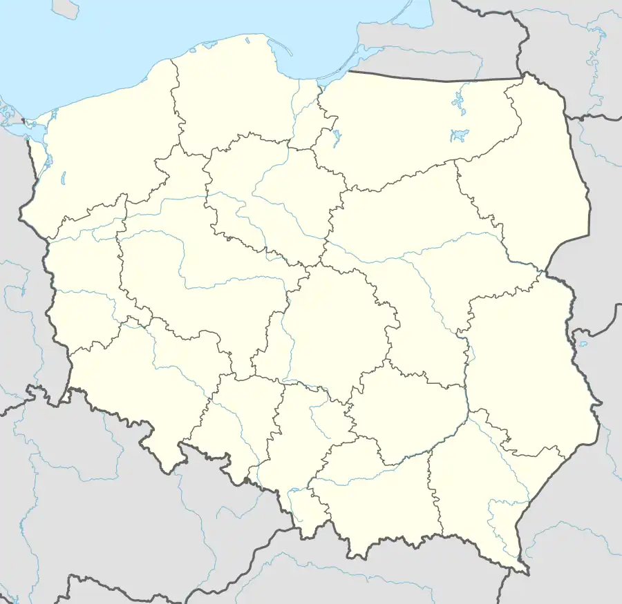
| Country | |
| Voivodeship | Greater Poland |
| County | Ostrzeszów |
| Gmina | Mikstat |
| Area | |
| • Total | 2.49 km2 (0.96 sq mi) |
| Elevation | 215 m (705 ft) |
| Population (2011) | |
| • Total | 1,906[1] |
| Time zone | UTC+1 (CET) |
| • Summer (DST) | UTC+2 (CEST) |
| Postal code | 63-510 |
| Vehicle registration | POT |
| Voivodeship roads | |
| Website | http://www.mikstat.pl |
Mikstat [ˈmʲikstat] (German: Mixstadt) is a town in Ostrzeszów County, Greater Poland Voivodeship, Poland, with 1,906 inhabitants (2011).
References
| Town and seat | | |
|---|---|---|
| Villages | ||
This article is issued from Wikipedia. The text is licensed under Creative Commons - Attribution - Sharealike. Additional terms may apply for the media files.