Micăsasa | |
|---|---|
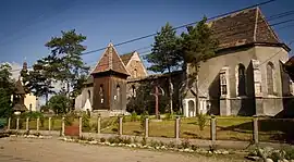 Catholic church in Micăsasa | |
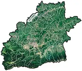 Location in Sibiu County | |
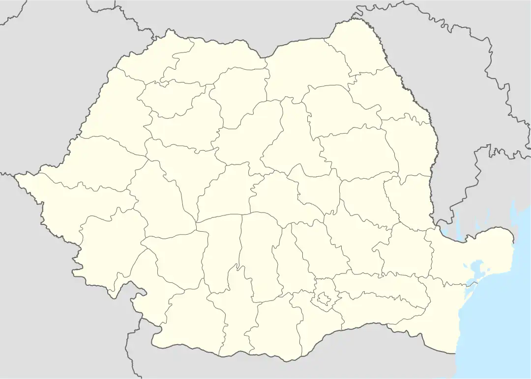 Micăsasa Location in Romania | |
| Coordinates: 46°5′N 24°7′E / 46.083°N 24.117°E | |
| Country | Romania |
| County | Sibiu |
| Government | |
| • Mayor (2020–2024) | Timotei Păcurar (USR) |
| Area | 71.38 km2 (27.56 sq mi) |
| Population (2011-10-31)[1] | 2,058 |
| • Density | 29/km2 (75/sq mi) |
| Time zone | EET/EEST (UTC+2/+3) |
| Postal code | 557145 |
| Area code | +40 x59 |
| Vehicle reg. | SB |
Micăsasa (German: Feigendorf; Hungarian: Mikeszásza) is a commune located in Sibiu County, Transylvania, Romania. It is composed of four villages: Chesler, Micăsasa, Țapu, and Văleni. Micăsasa and Țapu villages have fortified churches.
The route of the Via Transilvanica long-distance trail passes through the village of Micăsasa.[2]
At the 2011 census, 93.4% of inhabitants were Romanians, 4.4% Hungarians, 1.5% Roma, and 0.6% Germans.
| In Romanian | In German | In Hungarian |
|---|---|---|
| Chesler | Kesseln | Keszlér |
| Micăsasa | Feigendorf | Mikeszásza |
| Țapu | Abtsdorf an der Kokel | Csicsóholdvilág |
| Văleni | Huruba |
References
- ↑ "Populaţia stabilă pe judeţe, municipii, oraşe şi localităti componenete la RPL_2011" (XLS). National Institute of Statistics.
- ↑ "Terra Saxonum | Via Transilvanica". www.viatransilvanica.com (in Romanian). Retrieved 2023-08-14.
 Chesler
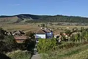 Țapu
Țapu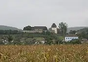 Fortified church of Țapu

This article is issued from Wikipedia. The text is licensed under Creative Commons - Attribution - Sharealike. Additional terms may apply for the media files.